Australia’s Cloudy Beauty

Australia’s Cloudy Beauty

Wide patches of fog fill river valleys cutting through rugged, dark green mountains in eastern Victoria.
Fog fills networks of river valleys in eastern Victoria in an image captured by the MODIS (Moderate Resolution Imaging Spectroradiometer) on NASA’s Terra satellite at 8:19 a.m. local time (22:19 Universal Time) on May 11, 2026.
NASA Earth Observatory / Lauren Dauphin

It’s autumn in the Southern Hemisphere, which means it’s fog season in the Victorian Alps. NASA’s Terra satellite captured this view of morning fog filling valleys in several national parks across the mountains of eastern Victoria in May.  

As nights lengthen with the season, the atmosphere has more time to cool and approach the dew point—the temperature at which the air becomes saturated and water vapor can condense into radiation fog. Because cold air is denser than warm air, it sinks and drains into valleys, allowing fog to develop there first. In low-elevation areas, radiation fog usually fades as the Sun warms the ground, but it tends to linger in mountain valleys because they remain shaded longer. On this day, geostationary satellite imagery shows the fog persisting for about two hours.

Fog is a low-lying type of cloud composed of tiny water droplets suspended in the air. The main difference between a cloud and fog is that the base of fog reaches the ground, while the base of a cloud is generally well above the surface. Radiation fog forms in clear, calm conditions at night. In this case, a blast of cold, soggy weather primed the region by moistening land surfaces a few days prior to the arrival of a slow-moving high that brought calmer, warmer conditions that were conducive to fog formation. 

Many valleys in the mountains also have rivers, streams, and lakes, which amplified the process by providing a ready supply of water vapor. In the image above, zones of fog have formed along several water bodies, including the Mitta Mitta River, Buffalo River, Livingston Creek, Lake Dartmouth, and Snowy River.  

A narrow arch-shaped cloud is visible over the blue waters of Port Phillip Bay.
An arch-shaped cloud drifts over Port Phillip Bay in this image captured by the MODIS (Moderate Resolution Imaging Spectroradiometer) on NASA’s Terra satellite at 8:19 a.m. local time (22:19 Universal Time) on May 11, 2026.
NASA Earth Observatory / Lauren Dauphin

The same conditions fueled another noteworthy cloud a few hundred kilometers to the southwest. At about 8:19 a.m. local time (22:19 Universal Time), the Terra satellite captured an arch-shaped cloud over Port Phillip Bay, roughly stretching from St. Leonards on the bay’s western shore to Mount Eliza on the eastern side.

The feature likely formed as converging land and sea breezes interacted with the horseshoe-shaped terrain that defines the bay. Geostationary satellite imagery shows the arch-shaped cloud moving southward across the bay as the valley fog to the northeast faded.

NASA Earth Observatory image by Lauren Dauphin, using MODIS data from NASA EOSDIS LANCE and GIBS/Worldview. Story by Adam Voiland.

References & Resources

You may also be interested in:

Stay up-to-date with the latest content from NASA as we explore the universe and discover more about our home planet.

Ganges Delta Under a Winter Shroud of Fog

2 min read

Low clouds blanketed the delta while parallel cloud bands rolled over the Bay of Bengal during a January cold wave.

Article

Winter’s End Is Written in the Clouds

3 min read

As winter turned to spring, the skies over the Gulf of Alaska displayed textbook examples of numerous cloud formations.

Article

Contours of the James Bay Lowlands

3 min read

After the Laurentide Ice Sheet retreated from present-day Hudson Bay, rebounding land has revealed striking nearshore topography.

Article

Powered by WPeMatico

Get The Details…

Curiosity Blog, Sols 4886-4892: Ingenuity and Perseverance, Curiosity Style

Curiosity Blog, Sols 4886-4892: Ingenuity and Perseverance, Curiosity Style

3 min read

Curiosity Blog, Sols 4886-4892: Ingenuity and Perseverance, Curiosity Style

A close-up view of a perfectly circular drill hole in light tan Martian bedrock, created by the Curiosity rover. The shallow hole is filled with loose, pale, powdery rock cuttings. The surrounding rock surface is mostly flat and dusty, featuring subtle ridges, faint cracks, and a few small, scattered pebbles.
NASA’s Mars rover Curiosity acquired this image showing an oblique view into the “Atacama” drill hole, where the rover’s drill was briefly lodged. Curiosity created the image using its Mars Hand Lens Imager (MAHLI), a close-up camera located on the turret at the end of the rover’s robotic arm, and an onboard focusing process that merges multiple images of the same target at different focus positions, creating a composite that brings as many features into focus as possible. Curiosity performed the focus merge on May 6, 2026 — Sol 4887, or Martian day 4,887 of the Mars Science Laboratory Mission — at 01:39:34 UTC.
NASA/JPL-Caltech/MSSS

Written by Michelle Minitti, MAHLI Deputy Principal Investigator

Earth planning date: Friday, May 8, 2026

While we know the monikers Ingenuity and Perseverance are attached to our sister helicopter and rover on the Mars 2020 mission, those characteristics were in full force with Curiosity over the past week. The science we achieved this week was enabled by the ingenuity of the Curiosity engineers and scientists manifested in this extraordinary time lapse. It demonstrates the careful dance of arm motions employed — each one diligently planned by the team — to free Curiosity’s drill from the “Atacama” target. Watch the arm twist, bend, and turn with a rock slab attached, and be amazed. 

The highest-priority activities after liberating the drill included imaging the drill with Mastcam and ChemCam RMI, and imaging into the now-empty drill hole with MAHLI (the image above). The science team made the most of the freshly-broken surfaces created when Atacama fell back to Mars, and the freshly-exposed sand once hidden underneath Atacama. ChemCam targeted one of the clean fracture faces with two LIBS rasters at “Tamarugal” and “Tamarugo,” and followed with another raster on a light-toned patch of bedrock formerly under Atacama at “Colchane.”  MAHLI and APXS analyzed sand near Colchane at the target “Yerba Loca.” Beyond Atacama, Mastcam and ChemCam imaged the large buttes towering above our current and future drive paths. Mastcam also imaged two exposures of the polygonal fractures present in this area (targets “Cerro Elefantes” and “Azul Pampa”) and looked for wind-induced changes in the sand (“Playa los Metales”). ChemCam planned a passive spectroscopy observation of light-toned features on the “Paniri” butte and checked out a potential meteorite with a LIBS raster at “Isla Mocha.”  

As engineering assessments continued, Curiosity drove uphill to study a contact between two different rock types, which can indicate a change in formation conditions, a break in time, or both. MAHLI, APXS, and ChemCam teamed up to study both rock types at the lighter-toned, layered “Toro” target and the darker, flaky “Inca de Oro” target. Mastcam planned multiple mosaics capturing different structures and transitions exposed along the contact. Across the plans during the week, REMS, RAD, and DAN regularly measured the environment above and below the rover, and Navcam and Mastcam teamed up to look for clouds, dust devils, and dust in the atmosphere.

With the health of the drill and arm confirmed by the engineers, Curiosity exhibited perseverance by heading toward a new workspace with a promising (larger) block for a new drill attempt. Our Martian exploration continues undaunted.

A rover sits on the hilly, orange Martian surface beneath a flat grey sky, surrounded by chunks of rock.
NASA’s Curiosity rover at the base of Mount Sharp
NASA/JPL-Caltech/MSSS

Share

Details

Last Updated
May 11, 2026

Related Terms

Powered by WPeMatico

Get The Details…

NASA’s Curiosity Takes Close Look at Rock That Got Stuck on Drill

NASA’s Curiosity Takes Close Look at Rock That Got Stuck on Drill

2 Min Read

NASA’s Curiosity Takes Close Look at Rock That Got Stuck on Drill

A dark, brownish, roughly textured rock with a circular hole sits on the sandy-looking Martian surface. It has broken into several pieces after falling.
PIA26724
Credits:
NASA/JPL-Caltech/MSSS

Description

NASA’s Curiosity Mars rover used its Mast Camera, or Mastcam, to capture this view of a rock nicknamed “Atacama” on May 6, 2026, the 4,877th Martian day, or sol, of the mission. The rock had gotten stuck to the drill on the end of Curiosity’s robotic arm on April 25. Engineers spent several days repositioning the arm and vibrating the drill to try and get the rock loose, finally detaching the rock on May 1.

Atacama is estimated to be 1.5 feet in diameter at its base and 6 inches thick. It would weigh roughly 28.6 pounds (13 kilograms) on Earth (and about a third of that on Mars). The circular hole produced by Curiosity’s drill is visible in the rock.

This mosaic is made up of eight images that were stitched together after being sent back to Earth. The color has been approximately white-balanced to resemble how the scene would appear under daytime lighting conditions on Earth.

Curiosity was built by NASA’s Jet Propulsion Laboratory, which is managed by Caltech in Pasadena, California. JPL leads the mission on behalf of NASA’s Science Mission Directorate in Washington as part of NASA’s Mars Exploration Program portfolio. Malin Space Science Systems in San Diego built and operates Mastcam.

To learn more about Curiosity, visit:

science.nasa.gov/mission/msl-curiosity

Powered by WPeMatico

Get The Details…

May 2026 Satellite Puzzler

May 2026 Satellite Puzzler

A satellite image shows a mostly grayscale landscape featuring grid-like patterns contrasted against surrounding irregular terrain.

Every month, NASA Earth Observatory features a puzzling satellite image. The May 2026 puzzler appears above. 

Your Challenge
I
dentify the location shown in this satellite image. Share what clues you see, where you think it is, and what makes this place interesting or unique to you.

How to Answer
Submit your response using this form and select “Puzzler Answer” as the topic. Please include your preferred name or alias.

You can keep it simple and just guess the location. Want to impress us? Tell us which satellite and instrument captured the image, which spectral bands were used, or point out a subtle detail about the geology or history of the area. If something catches your eye, or if this is your home or means something to you, we’d love to hear about it.

The Prize
We can’t offer prize money or a trip to space to see Earth like satellites and astronauts do. But we can offer something almost as rewarding: puzzler bragging rights.

About a week after the challenge, we’ll post the answer at the top of this page, along with a link to an Earth Observatory Image of the Day story that explains the image in more detail. We’ll recognize the first person who correctly guesses the location, and we may also highlight readers who share especially thoughtful or interesting answers. By submitting a response, you acknowledge that your comments may be edited, excerpted, and published on this page.

Until then, zoom in, look closely, and enjoy the challenge. See you at the reveal!

Powered by WPeMatico

Get The Details…

Crew Relaxes Before Busy Week of Science, Dragon Arrival, and Spacewalk Preps

Crew Relaxes Before Busy Week of Science, Dragon Arrival, and Spacewalk Preps

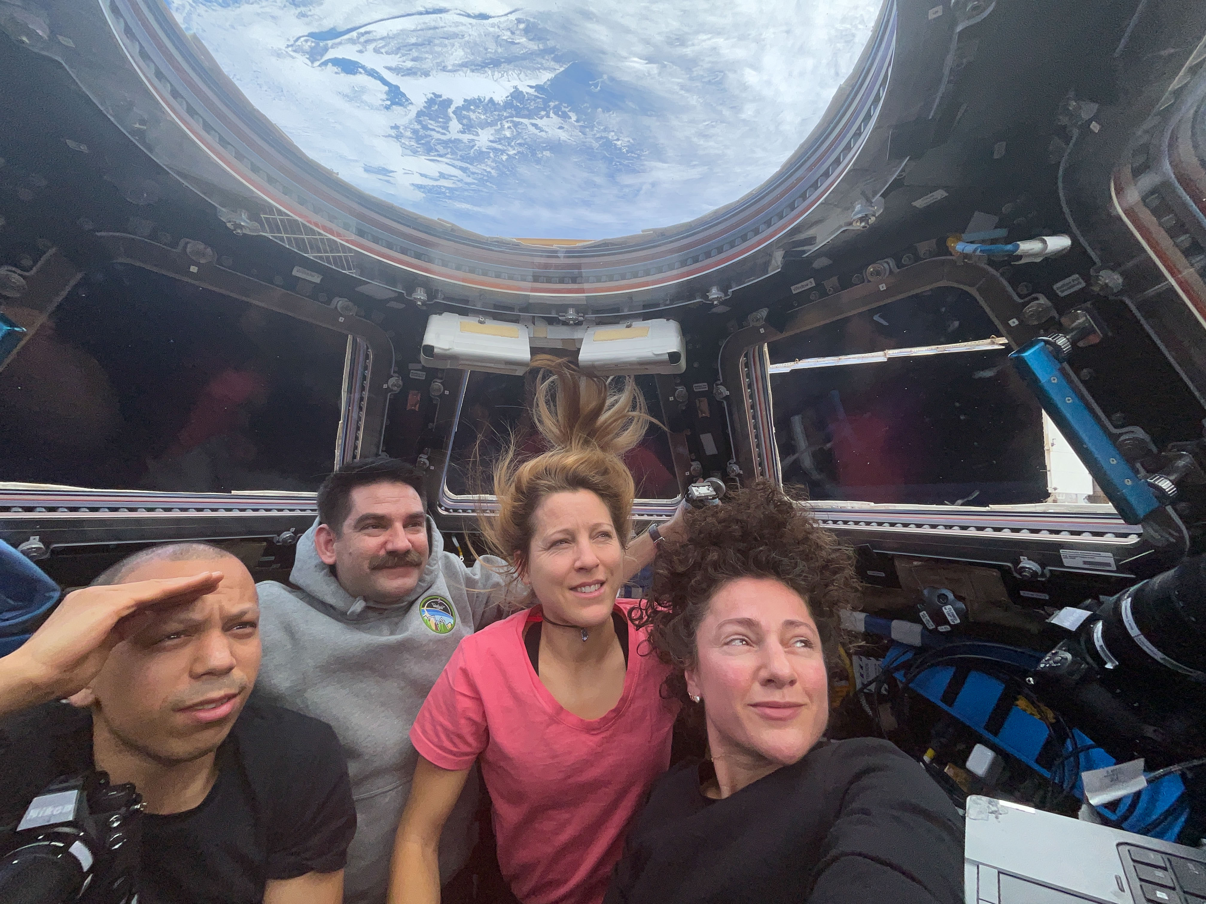
NASA astronauts Jack Hathaway and Jessica Meir, both Expedition 74 flight engineers, answer questions inside the International Space Station’s Kibo laboratory module during a live downlink event with Connecticut Public Radio. Hathaway is a native of South Windsor, Connecticut, while Meir is from Caribou, Maine.
NASA astronauts Jack Hathaway and Jessica Meir, both Expedition 74 flight engineers, answer questions inside the International Space Station’s Kibo laboratory module during a live downlink event with Connecticut Public Radio.
NASA

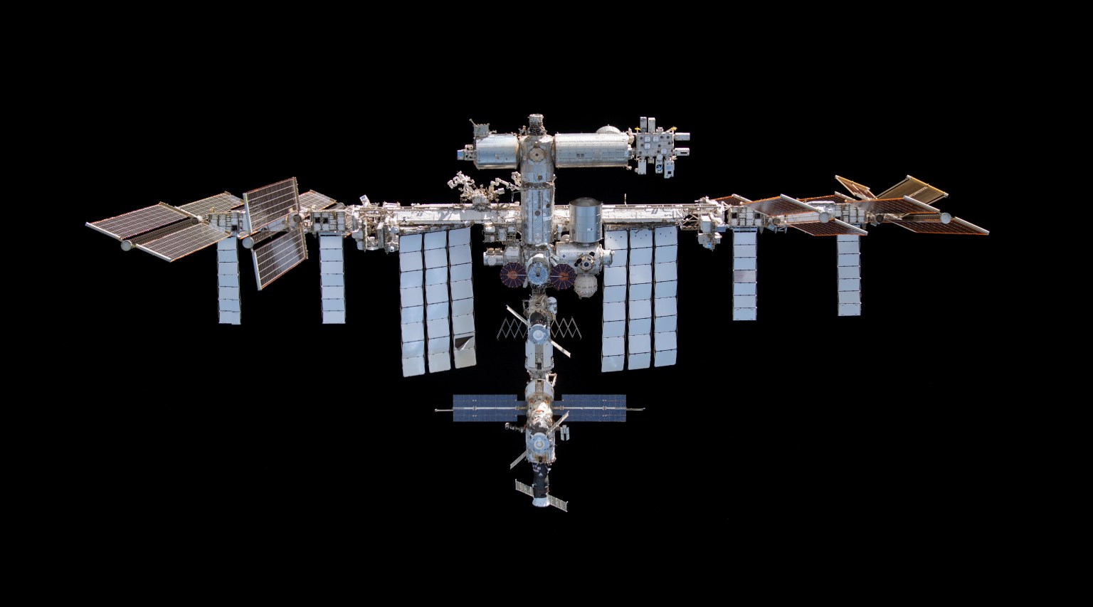
The next cargo mission to resupply the International Space Station, SpaceX CRS-34, is slated for launch at 7:16 p.m. on Tuesday, May 12, from Launch Complex 40 at Cape Canaveral Space Force Station in Florida, weather pending. The uncrewed Dragon will launch atop a Falcon 9 rocket carrying about 6,500 pounds of science experiments, crew supplies, and lab hardware for the Expedition 74 crew. Flight engineers Jack Hathaway of NASA and Sophie Adenot of ESA (European Space Agency) will be on duty monitoring Dragon during its automated approach, rendezvous, and docking to the Harmony module’s forward port planned for 9:50 a.m. on Thursday, May 14.

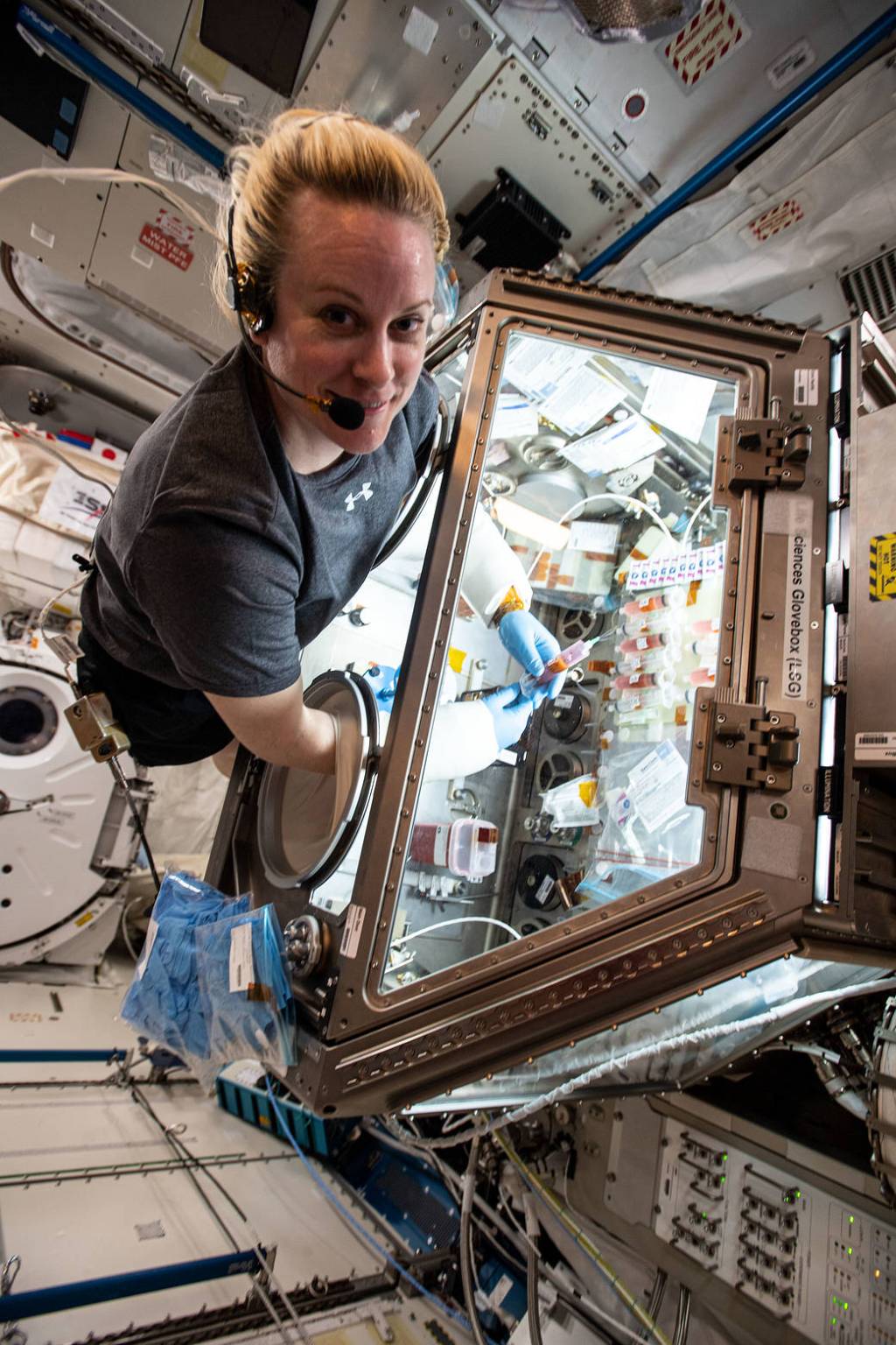
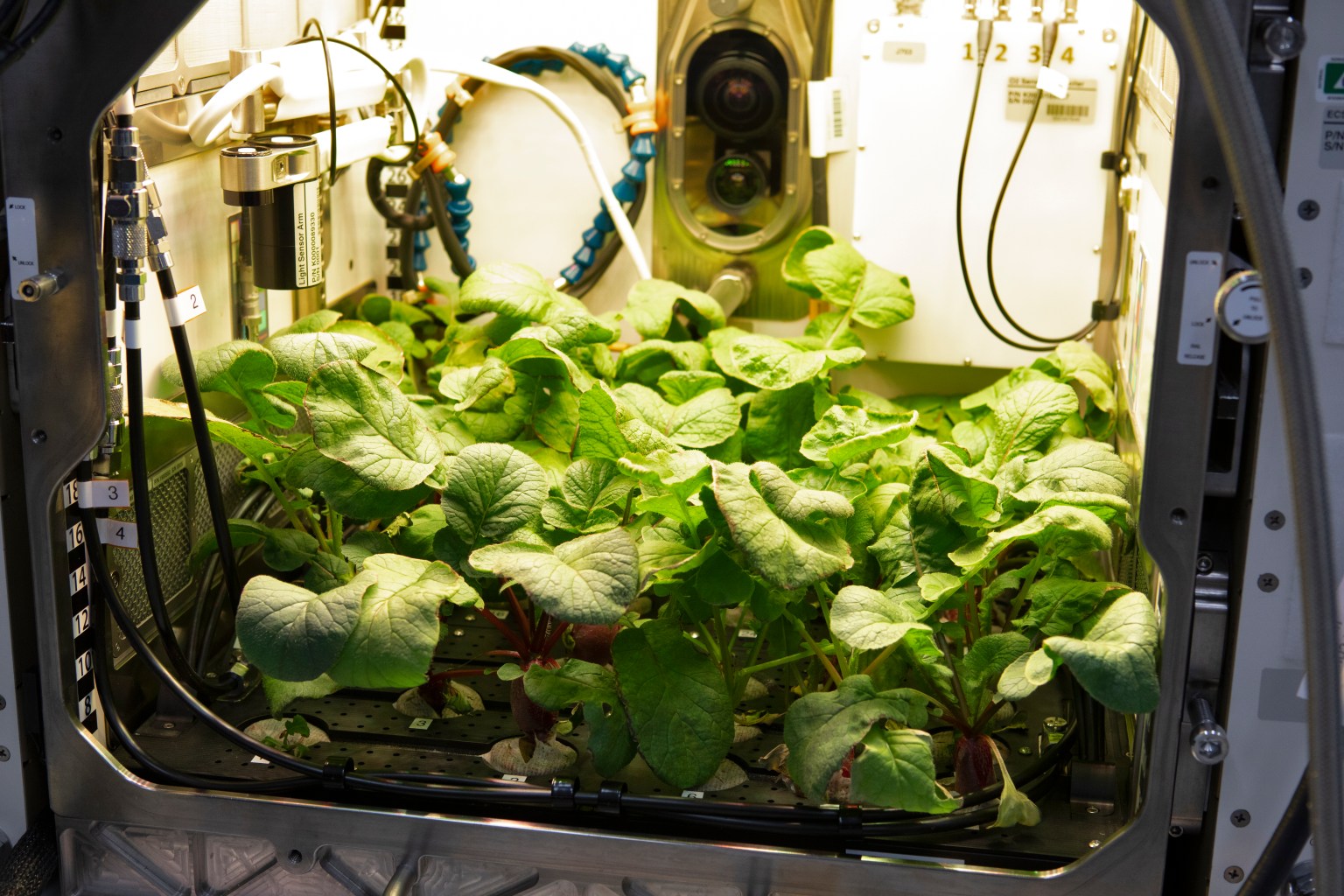
The seven-member crew had an off-duty day on Monday relaxing before beginning a busy week of microgravity research, lab maintenance, and cargo operations. On Tuesday, Hathaway will install new hardware to maintain the orbital outpost’s water recycling system reducing the need to resupply water from Earth. Adenot will water and photograph alfalfa plants growing for the Veg-06 space agriculture study exploring how to help plants thrive in microgravity to promote food production in space during long term missions.

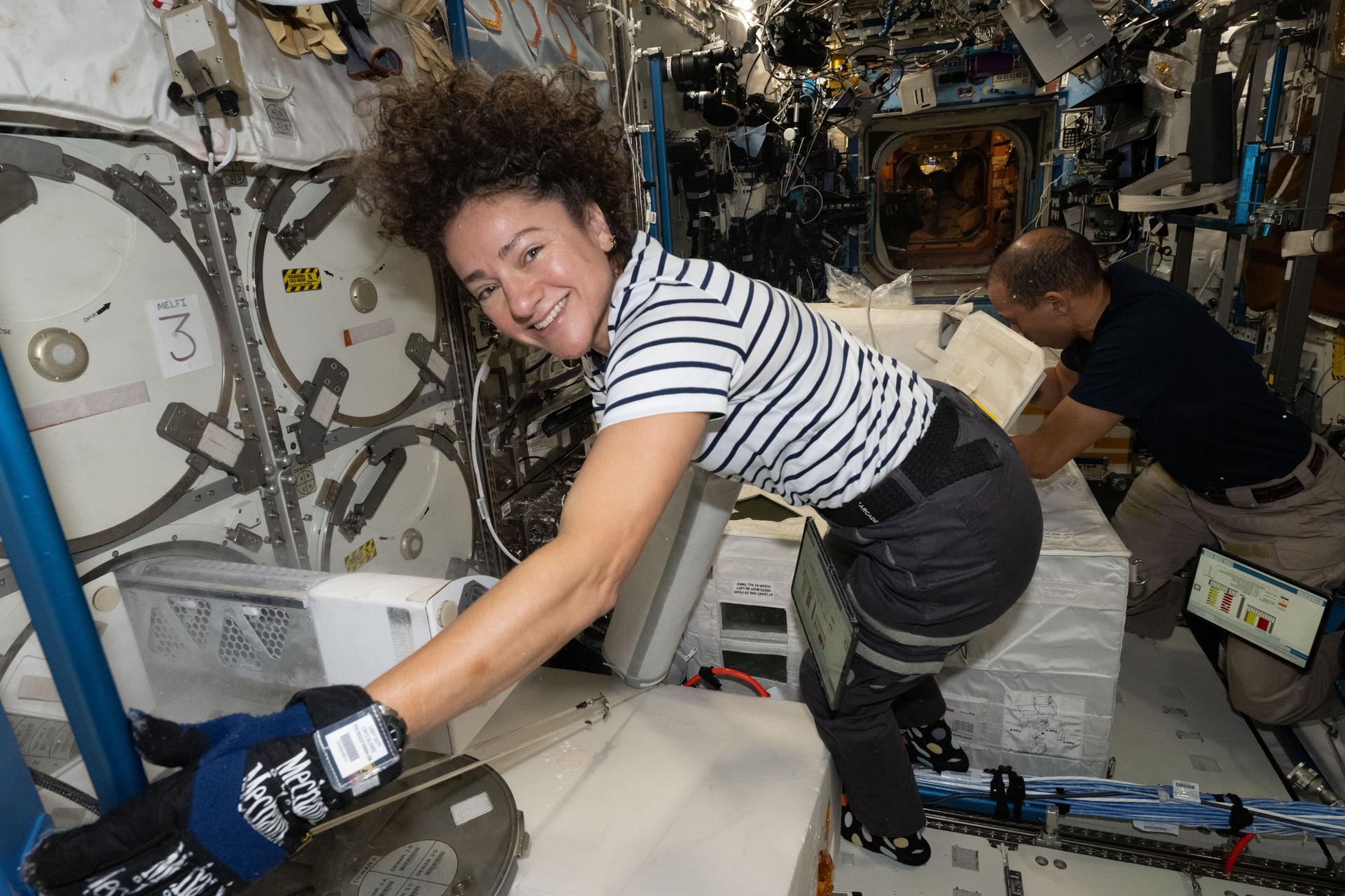
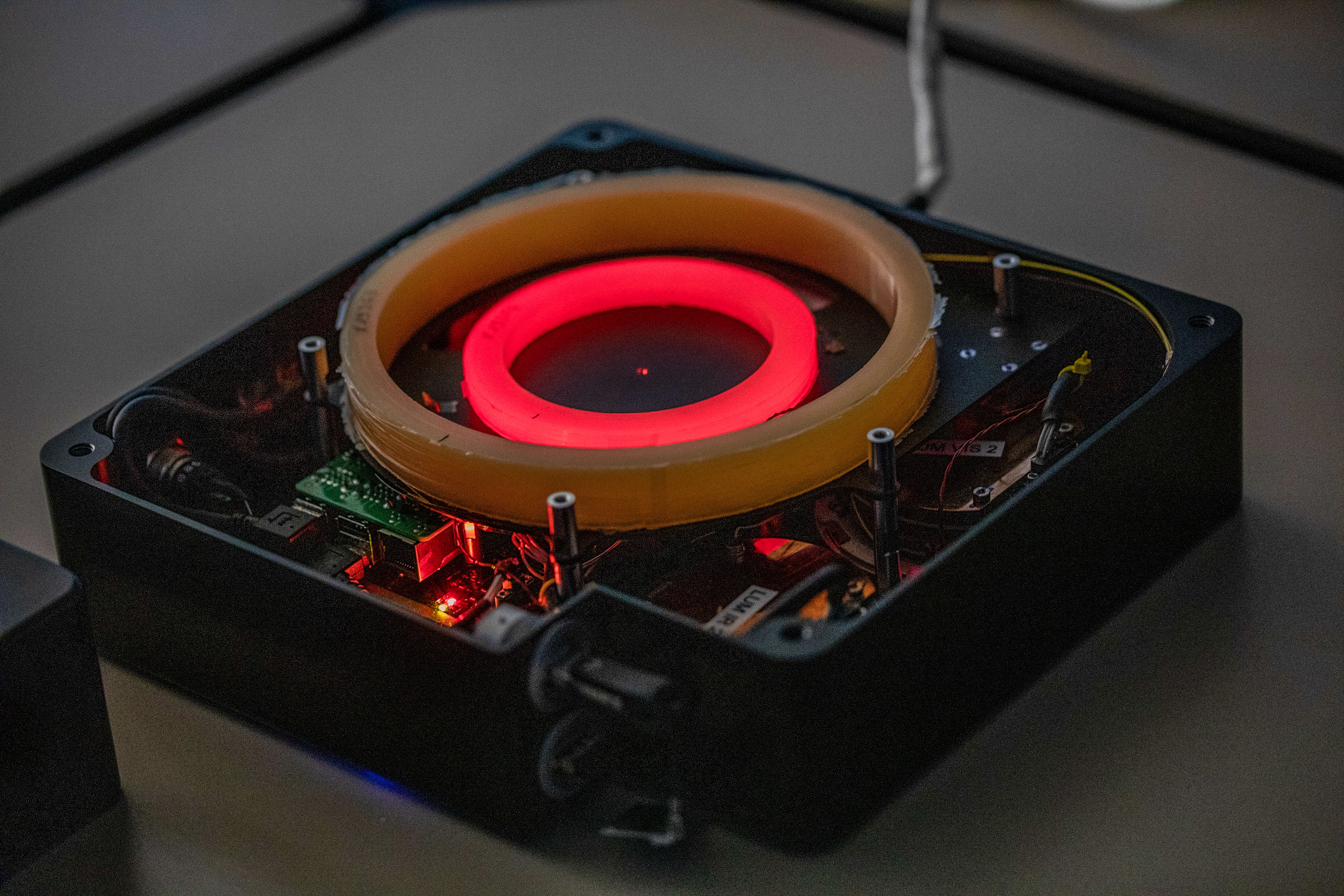
NASA flight engineer Jessica Meir will continue carefully rewiring and reconnecting cables on the Cold Atom Lab’s (CAL) new science module delivered aboard Northrop Grumman’s Cygnus XL cargo spacecraft on April 13. The quantum physics module expands the capacity of the CAL to chill atoms to near absolute zero and study atomic wave functions, general relativity, and dark matter. NASA flight engineer Chris Williams will test a small robotic arm for its automated, precision manipulation capabilities inside the Kibo laboratory module.

The four astronauts will join each other midweek and call down to flight controllers for a cargo conference the day before Dragon arrives. The quartet will begin unpacking critical, time-sensitive research samples packed inside Dragon’s portable science freezers about two-and-a-half after hours after the cargo spacecraft arrives.

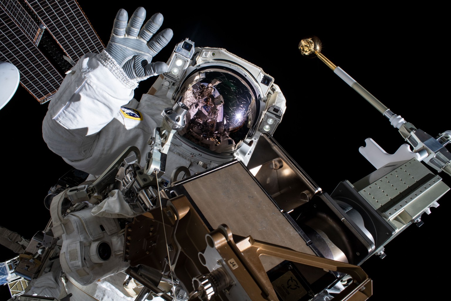
Station commander Sergey Kud-Sverchkov and flight engineer Sergey Mikaev will be gathering tools and checking their Orlan spacesuits preparing for a Roscosmos spacewalk planned for later this month. Flight engineer Andrey Fedyaev will have a busy week of human research and maintenance on life support equipment.

Learn more about station activities by following the space station blog, @space_stationon X, as well as the ISS Facebookand ISS Instagram accounts.

Get the latest from NASA delivered every week. Subscribe here.

Powered by WPeMatico

Get The Details…

Mark A. Garcia