Science Through Shadows: How Astronomical Alignments Reveal the Universe
6 min read
Science Through Shadows: How Astronomical Alignments Reveal the Universe
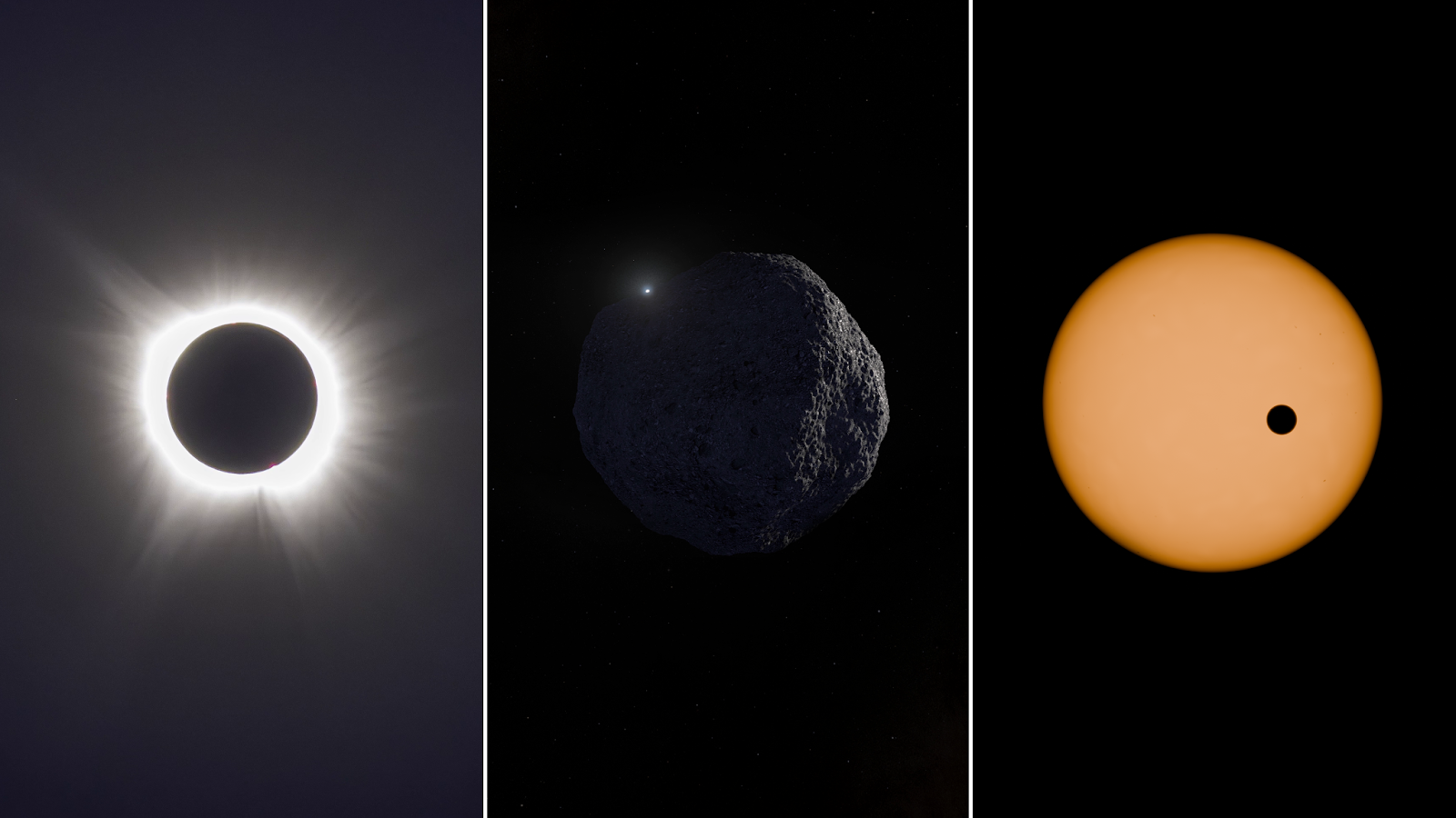
When one celestial object passes in front of another, it can cast a shadow that travels across space – and sometimes across Earth. These moments of alignment, known as eclipses, occultations, and transits, allow scientists to study distant objects in remarkable ways. By observing how light changes when an object briefly blocks another, astronomers can measure sizes and shapes, detect atmospheres, and refine the orbits of asteroids and planets.
The Science Through Shadows project, funded by NASA’s Science Activation program and led by Fiske Planetarium at the University of Colorado Boulder, explores how these shadow-based events help scientists conduct astronomical research. The project has produced a series of short films that explain the science behind eclipses, occultations, and solar observations while highlighting the people who help make these discoveries possible – including students, educators, and volunteer citizen scientists.
The videos are designed for use in classrooms, libraries, planetariums, and informal learning environments, and are available free of charge in both English and Spanish. Versions are available in 2D formats for streaming and classroom use, as well as fulldome formats for planetariums worldwide.
Explore the seven films currently available:
Focus: The annular solar eclipse of October 14, 2023
On October 14, 2023, observers across North America experienced an annular solar eclipse, sometimes called a “ring of fire.” During an annular eclipse, the Moon passes directly in front of the Sun but appears slightly smaller in the sky, leaving a bright ring of sunlight visible around its edges.
This video explains how annular eclipses differ from total solar eclipses, explores the science behind these events, and highlights safe viewing practices. It also helps viewers understand what makes eclipse observations both scientifically valuable and deeply memorable experiences.
Focus: The total solar eclipse of April 8, 2024
A total solar eclipse is one of the most dramatic astronomical events visible from Earth. On April 8, 2024, millions of people across North America had the opportunity to witness the Moon completely block the Sun, revealing the Sun’s faint outer atmosphere, known as the corona.
This video explores what happens during a total solar eclipse, why traveling to the path of totality offers a dramatically different experience, and how scientists use eclipses to study the Sun’s atmosphere.
Focus: The science behind eclipses
Why don’t eclipses happen every month? What conditions must occur for the Sun, Earth, and Moon to align?
This episode explains the orbital mechanics that produce eclipses and clarifies the differences between solar and lunar eclipses. By addressing common misconceptions, it helps viewers understand the celestial alignments that create these spectacular events.
Focus: The Lucy occultation campaign
When an asteroid passes in front of a distant star, it briefly blocks the star’s light, casting a shadow across Earth. Astronomers call this event an occultation, and it can reveal valuable information about the asteroid’s size, shape, and surrounding environment.
This video follows the Lucy Occultation Project, where scientists and citizen scientists worked together to observe the Trojan asteroid Polymele ahead of NASA’s Lucy mission flyby. On February 3, 2023, more than 100 telescopes across two continents were deployed to capture the moment Polymele passed in front of a star. The resulting observations help scientists better understand the asteroid before the spacecraft’s encounter.
Focus: NASA’s Parker Solar Probe
NASA’s Parker Solar Probe is helping scientists explore the Sun closer than ever before. On December 24, 2024, the spacecraft made its closest approach to the Sun, traveling more than 430,000 miles per hour – faster than any human-made object.
This video explores how Parker Solar Probe studies the Sun’s outer atmosphere and helps scientists investigate long-standing questions about the solar corona and solar wind.
Focus: NASA’s PUNCH mission
NASA’s PUNCH (Polarimeter to Unify the Corona and Heliosphere) mission provides a new way to observe how the Sun influences space throughout the inner solar system.
Consisting of four suitcase-sized satellites in low-Earth orbit, PUNCH creates global, three-dimensional observations of the region between the Sun and Earth. These measurements help scientists better understand how the solar wind forms and evolves, and how solar storms travel through space.
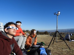
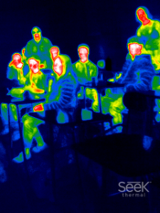
Focus: Citizen science during recent solar eclipses
Solar eclipses create powerful opportunities for collaborative scientific research. This episode follows two large participatory science projects that took place during recent North American eclipses: the Nationwide Eclipse Ballooning Project, another NASA Science Activation-funded project that’s led by Montana State University, and Citizen CATE 2024, a NASA- and National Science Foundation-supported observing campaign.
Through balloon launches, telescope observations, and hands-on engineering challenges, students, educators, and volunteers collected atmospheric and solar data that scientists are now analyzing. The episode highlights how people with curiosity and passion can contribute meaningfully to real scientific discovery.
2D versions of these videos in both English and Spanish can be found on Fiske Planetarium’s YouTube channel, and downloadable versions are available through the project’s distribution page. Fulldome masters (1K, 2K, and 4K) are also available for free download via the Fiske Productions page, allowing planetariums around the world to share these stories of discovery with their audiences.
Through projects like Science Through Shadows, NASA’s Science Activation program helps connect everyone, everywhere with NASA Science content, experts, and opportunities to participate. Whether observing an eclipse, tracking an asteroid’s shadow, or studying data from a spacecraft, these moments of alignment offer powerful opportunities to explore how the universe works – and how people everywhere can participate in the process of discovery.
Everyone, everywhere – regardless of country of origin or citizenship status – can collaborate with professional scientists, conduct cutting-edge science, and make real discoveries as a volunteer for NASA Citizen Science projects. These projects give participants the opportunity to collaborate with professional scientists, conduct cutting-edge science, and make real discoveries related to NASA’s five research divisions: Earth science, planetary science, astrophysics, biological and physical sciences, and heliophysics. Explore available projects and get started: https://science.nasa.gov/citizen-science/
Keep Exploring
Discover More Topics From NASA
Powered by WPeMatico
Get The Details…