Helio Highlights: May 2025
3 min read
Helio Highlights: May 2025
Helio Highlights: May 2025
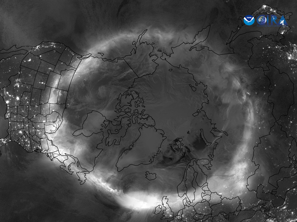
NOAA
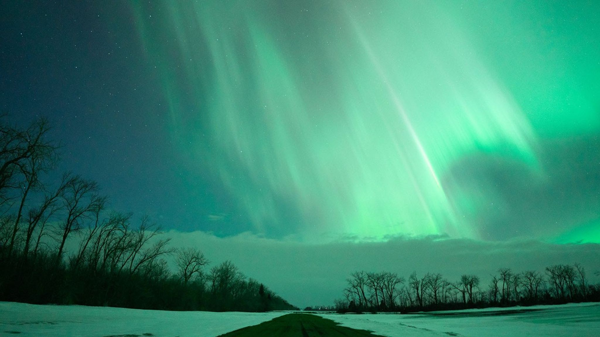
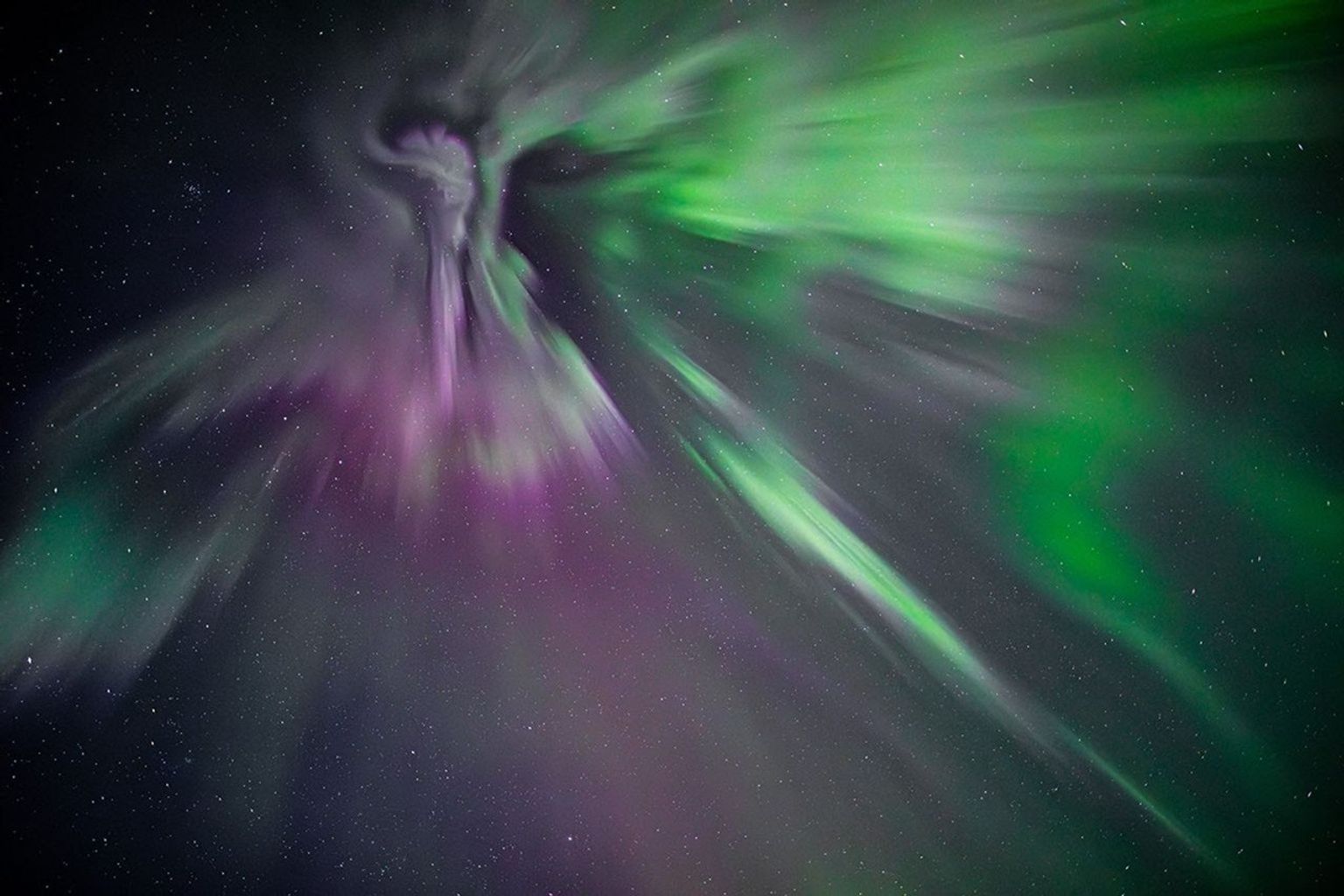
One year ago, solar storms lit up the night sky. Why?
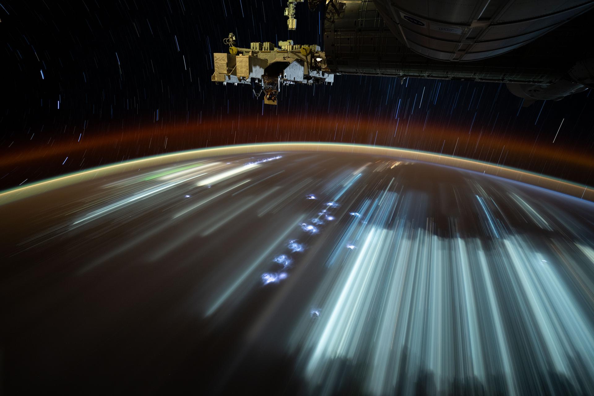
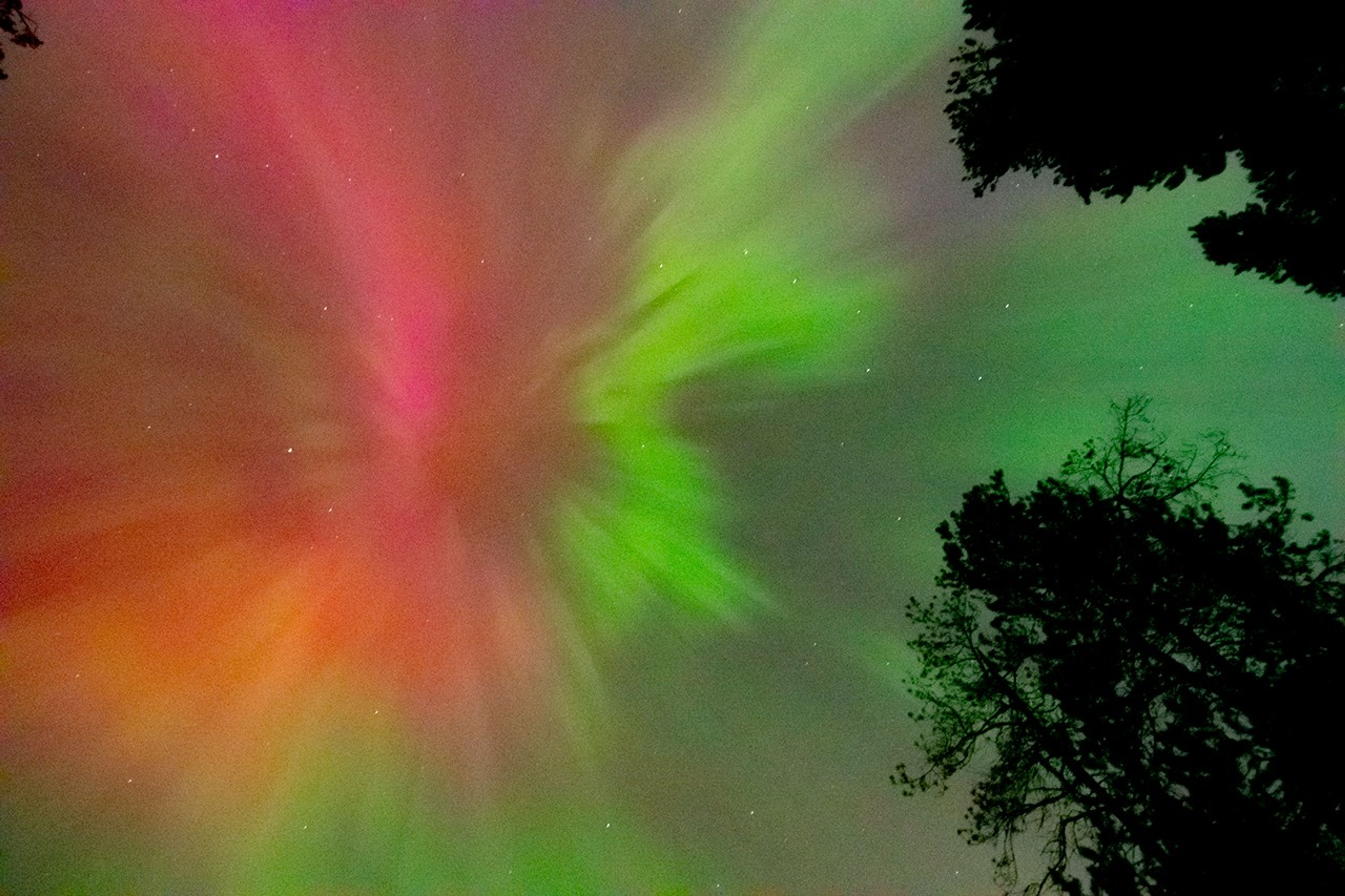
The Sun is 93 million miles away from Earth, on average. Even though it’s far away, we can still see and feel its effects here. One of the most beautiful effects are the auroras – colorful lights that dance across the sky near the North and South Poles. These are also called the Northern and Southern Lights. They happen when tiny particles from the Sun hit gas molecules in our atmosphere and give off energy.
Sometimes the Sun becomes very active and sends out a lot more energy than normal. When this happens, we can see auroras in places much farther from the poles than normal. In May 2024, around Mother’s Day, the Sun sent powerful solar storms in the direction of Earth. These storms were also called the Gannon Storms, named after Jennifer Gannon, a scientist who studied space weather. The Northern Lights could be seen as far south as Puerto Rico, Hawaii, Mexico, Jamaica, and the Bahamas. The Southern Lights were also visible as far north as South Africa and New Zealand.
Scientists who study the Sun and its effects on our solar system work in a field called heliophysics. Their studies of the Sun have shown that it goes through cycles of being more active and less active. Each one of these cycles lasts about 11 years, but can be anywhere from 8 to 14 years long. This is called the Solar Cycle.
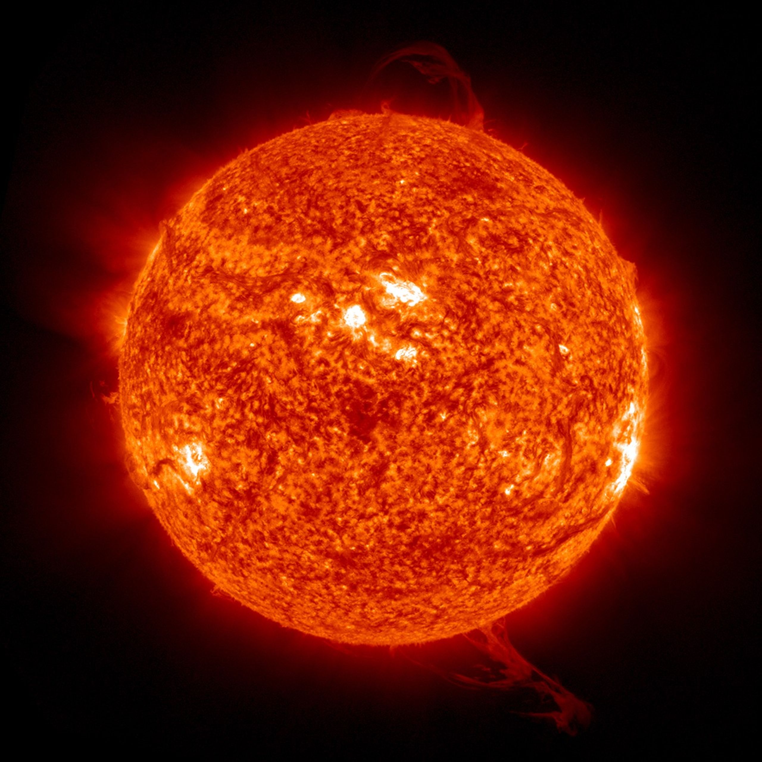
The middle of each cycle is called Solar Maximum. During this time, the Sun has more dark spots (called sunspots) and creates more space weather events. The big storms in May 2024 happened during the Solar Maximum for Solar Cycle 25.
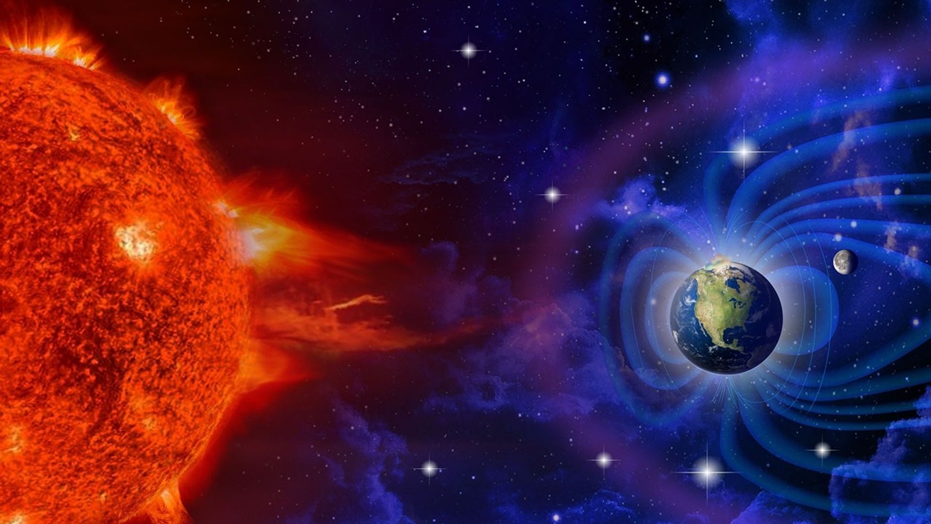
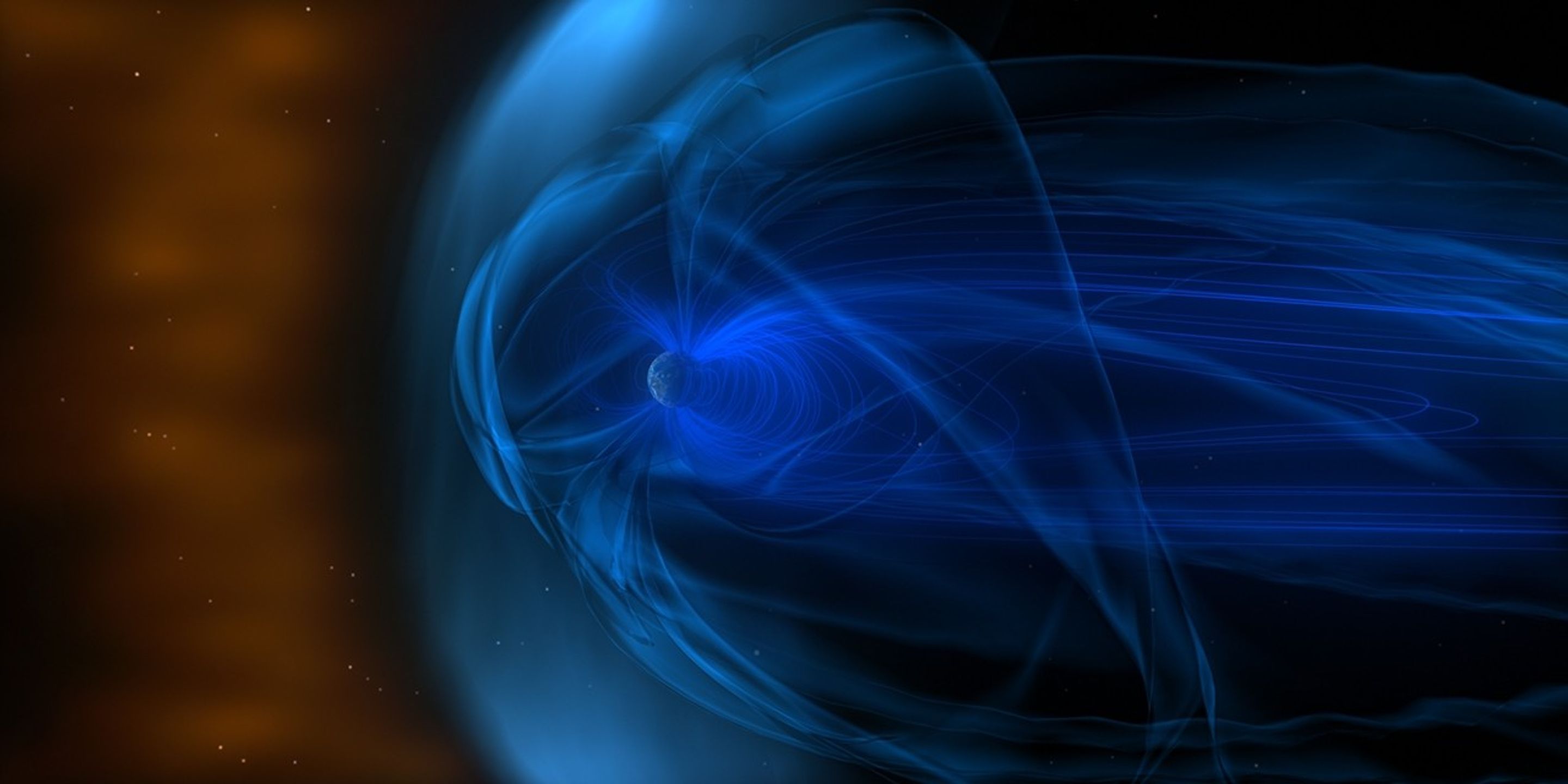
On May 8 and 9, 2024, an active area on the Sun called AR3664 shot out powerful solar flares and several huge bursts of energy called coronal mass ejections (CMEs). These CMEs headed straight for Earth. The first CME pushed aside the normal solar wind, making a clear path for the others to reach us faster. When all this energy hit our atmosphere, it created auroras much farther from the poles than usual. It was like the Sun gave the auroras a huge power boost!

Auroras are beautiful to watch, but the space weather that creates them can also cause problems. Space weather can mess up radio signals, power grids, GPS systems, and satellites. During the May 2024 storms, GPS systems used by farmers were disrupted. Many farmers use GPS to guide their self-driving tractors. Since this happened during peak planting season, it may have cost billions of dollars in lost profit.
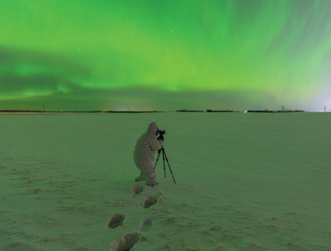
Because space weather can cause so many problems, scientists at NASA and around the world watch the Sun closely to predict when these events will happen. You can help too! Join local science projects at schools, teach others about the Sun, and help make observations in your area. All of this helps us to learn more about the Sun and how it affects our planet.
Here are some resources to connect you to the Sun and auroras
Lesson Plans & Educator Guides
Interactive Resources
Powered by WPeMatico