NASA Rover Detects Electric Sparks in Mars Dust Devils, Storms
Perseverance confirmed a long-suspected phenomenon in which electrical discharges and their associated shock waves can be born within Red Planet mini-twisters.
NASA’s Perseverance Mars rover has recorded the sounds of electrical discharges —sparks — and mini-sonic booms in dust devils on Mars. Long theorized, the phenomenon has now been confirmed through audio and electromagnetic recordings captured by the rover’s SuperCam microphone. The discovery, published Nov. 26 in the journal Nature, has implications for Martian atmospheric chemistry, climate, and habitability, and could help inform the design of future robotic and human missions to Mars.
A frequent occurrence on the Red Planet, dust devils form from rising and rotating columns of warm air. Air near the planet’s surface becomes heated by contact with the warmer ground and rises through the denser, cooler air above. As other air moves along the surface to take the place of the rising warmer air, it begins to rotate. When the incoming air rises into the column, it picks up speed like spinning ice skaters bringing their arms closer to their body. The air rushing in also picks up dust, and a dust devil is born.
SuperCam has recorded 55 distinct electrical events over the course of the mission, beginning on the mission’s 215thMartian day, or sol, in 2021. Sixteen have been recorded when dust devils passed directly over the rover.
Decades before Perseverance landed, scientists theorized that the friction generated by tiny dust grains swirling and rubbing against each other in Martian dust devils could generate enough of an electrical charge to eventually produce electrical arcs. Called the triboelectric effect, it’s the phenomenon at play when someone walks over a carpet in socks and then touches a metal doorknob, generating a spark. In fact, that is about the same level of discharge as what a Martian dust devil might produce.
“Triboelectric charging of sand and snow particles is well documented on Earth, particularly in desert regions, but it rarely results in actual electrical discharges,” said Baptiste Chide, a member of the Perseverance science team and a planetary scientist at L’Institut de Recherche en Astrophysique et Planétologie in France. “On Mars, the thin atmosphere makes the phenomenon far more likely, as the amount of charge required to generate sparks is much lower than what is required in Earth’s near-surface atmosphere.”
Perseverance’s SuperCam instrument carries a microphone to analyze the sounds of the instrument’s laser when it zaps rocks, but the team has also captured the sounds of wind and even the first audio recording of a Martian dust devil. Scientists knew it could pick up electromagnetic disturbance (static) and sounds of electrical discharges in the atmosphere. What they didn’t know was if such events happened frequently enough, or if the rover would ever be close enough, to record one. Then they began to assess data amassed over the mission, and it didn’t take long to find the telltale sounds of electrical activity.
Credit: NASA/JPL-Caltech/LANL/CNES/CNRS/ISAE-Supaero
Crackle, pop
“We got some good ones where you can clearly hear the ‘snap’ sound of the spark,” said coauthor Ralph Lorenz, a Perseverance scientist at the Johns Hopkins Applied Physics Lab in Laurel, Maryland. “In the Sol 215 dust devil recording, you can hear not only the electrical sound, but also the wall of the dust devil moving over the rover. And in the Sol 1,296 dust devil, you hear all that plus some of the particles impacting the microphone.”
Thirty-five other discharges were associated with the passage of convective fronts during regional dust storms. These fronts feature intense turbulence that favor triboelectric charging and charge separation, which occurs when two objects touch, transfer electrons, and separate — the part of the triboelectric effect that results in a spark of static electricity.
Researchers found electrical discharges did not seem to increase during the seasons when dust storms, which globally increase the presence of atmospheric dust, are more common on Mars. This result suggests that electrical buildup is more closely tied to the localized, turbulent lifting of sand and dust rather than high dust density alone.
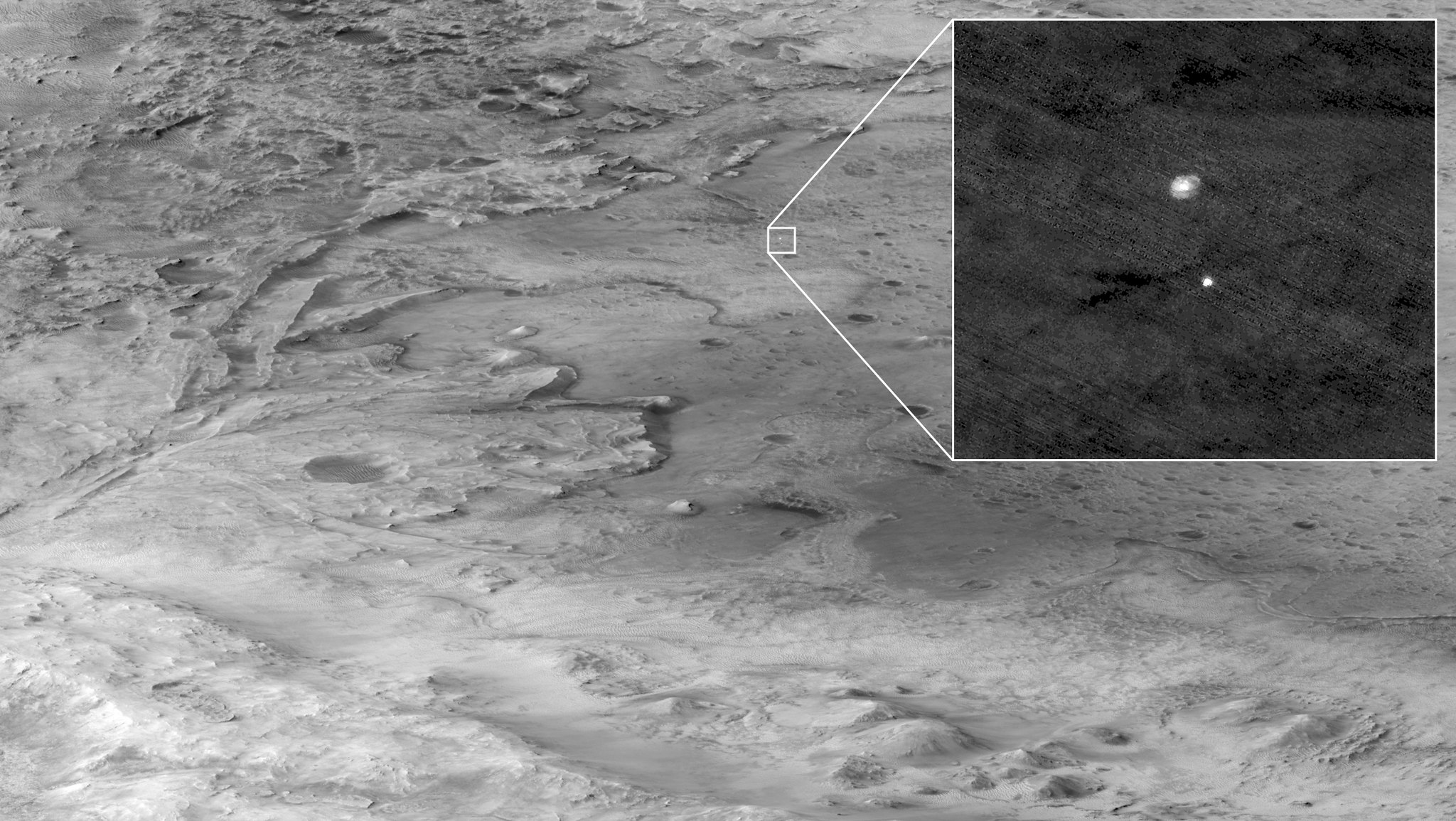
Credit: NASA/JPL-Caltech/LANL/CNES/CNRS/INTA-CSIC/Space Science Institute/ISAE-Supaero/University of Arizona
Profound effects
The proof of these electrical discharges is a discovery that dramatically changes our understanding of Mars. Their presence means that the Martian atmosphere can become sufficiently charged to activate chemical reactions, leading to the creation of highly oxidizing compounds, such as chlorates and perchlorates. These strong substances can effectively destroy organic molecules (which constitute some of the components of life) on the surface and break down many atmospheric compounds, completely altering the overall chemical balance of the Martian atmosphere.
This discovery could also explain the puzzling ability of Martian methane to vanish rapidly, offering a crucial piece of the puzzle for understanding the constraints life may have faced and, therefore, the planet’s potential to be habitable.
Given the omnipresence of dust on Mars, the presence of electrical charges generated by particles rubbing together would seem likely to influence dust transport on Mars as well. How dust travels on Mars plays a central role in the planet’s climate but remains poorly understood.
Confirming the presence of electrostatic discharges will also help NASA understand potential risks to the electronic equipment of current robotic missions. That no adverse electrostatic discharge effects have been reported in several decades of Mars surface operations may attest to careful spacecraft grounding practices. The findings could also inform safety measures developed for future astronauts exploring the Red Planet.
More about Perseverance
Managed for NASA by Caltech, the Jet Propulsion Laboratory in Southern California built and manages operations of the Perseverance rover on behalf of the agency’s Science Mission Directorate as part of NASA’s Mars Exploration Program portfolio.
To learn more about Perseverance visit:
https://science.nasa.gov/mission/mars-2020-perseverance
News Media Contacts
DC Agle
Jet Propulsion Laboratory, Pasadena, Calif.
818-393-9011
agle@jpl.nasa.gov
Karen Fox / Molly Wasser
NASA Headquarters, Washington
202-358-1600 / 240-419-1732
karen.c.fox@nasa.gov / molly.l.wasser@nasa.gov
2025-132
Share
Details
Related Terms
Explore More


Powered by WPeMatico
Get The Details…
Chelsea Gohd