NASA Names Acting Leaders for Two Key Human Spaceflight Roles
On Thursday, NASA announced Joel Montalbano will serve as the acting associate administrator for the Space Operations Mission Directorate (SOMD) at NASA Headquarters in Washington, and Dana Hutcherson will serve as the acting program manager of the Commercial Crew Program.
SOMD’s programs and activities include the Commercial Crew Program, the Commercial Low Earth Orbit Program, the Human Research Program, the International Space Station Program, the Launch Services Program, the Rocket Propulsion Test Program, the Space Communications and Navigation Program, Space Sustainability, and Human Spaceflight Capabilities.
Both leaders were previously serving as deputies in their respective roles.
“Strong leadership is essential to advancing NASA’s mission, and Joel Montalbano and Dana Hutcherson are exceptionally well-qualified to serve in these acting roles,” said NASA Administrator Jared Isaacman. “Their experience and commitment will help ensure we deliver on the President’s National Space Policy, maintain American leadership in low Earth orbit, and build the capabilities required to achieve the near-impossible beyond it.”
Kenneth Bowersox previously announced his retirement, effective Friday, March 6, after which Montalbano will assume the role as acting head of SOMD. Key priorities for Montalbano will include establishing a low Earth orbit economy ahead of retiring the International Space Station and maintaining America’s superiority in space.
Prior to his positions at headquarters, Montalbano served as program manager of the International Space Station at NASA’s Johnson Space Center in Houston, where he was responsible for the overall management, development, integration, and operation of the orbiting laboratory. He also has served as a variety of other roles, including deputy program manager for the International Space Station Program Office; director of NASA’s Human Space Flight Program in Russia; and a NASA flight director. He started his career at Rockwell in 1988 and became a NASA civil servant that same year.
Over the course of his career, he has received many honors, including the NASA Distinguished Service Medal, Johnson Space Center Directors Commendation, Rank of Meritorious Executive, conferred by the President of the United States, NASA Exceptional Service Medal (twice), the Superior Accomplishment Award, NASA Outstanding Leadership Medal, Rotary Space Award Nominee, and more.
Montalbano received a bachelor’s degree in aerospace, aeronautical, and astronautical engineering from Iowa State University.
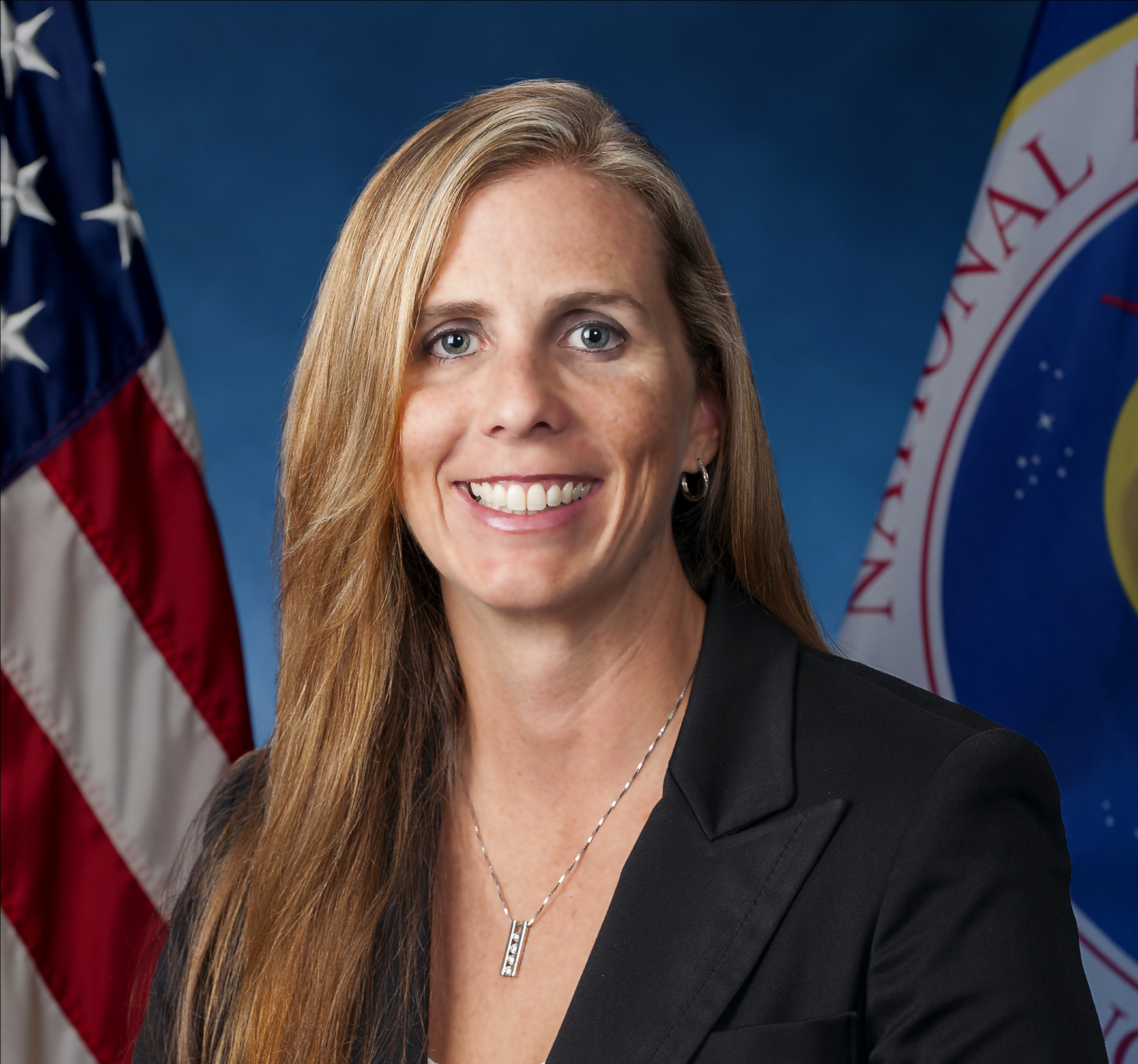
Through CCP, Hutcherson will continue her work with the American aerospace industry to develop safe, reliable and cost-effective crew transportation systems for low-Earth orbit destinations, including the International Space Station. She is responsible for the facilitation of spacecraft development, certification, and operations to enable the safe transportation of NASA astronauts for the Commercial Crew Program.
Hutcherson previously served as deputy manager of the CCP Systems Engineering and Integration Office, and as deputy manager of the program’s Launch Vehicle Systems Office. She also has served as a NASA flow director within the Launch Vehicle Processing Directorate at Kennedy, and other roles at NASA. Prior to NASA, she began her career with United Space Alliance as an airframe engineer.
Hutcherson has received numerous prestigious honors including Meritorious Presidential Rank Award, NASA’s Space Flight Awareness Leadership Award, and Outstanding Leadership Medal.
She holds a bachelor of science in mechanical engineering from the Georgia Institute of Technology in Atlanta, and a master of science in industrial engineering of engineering management from the University of Central Florida in Orlando.
For more about NASA’s mission, visit:
https://www.nasa.gov/
-end-
Bethany Stevens / Cheryl Warner
Headquarters, Washington
202-358-1600
bethany.c.stevens@nasa.gov / cheryl.m.warner@nasa.gov
Powered by WPeMatico
Get The Details…
Cheryl Warner