Curiosity Blog, Sols 4575-4576: Perfect Parking Spot

Curiosity Blog, Sols 4575-4576: Perfect Parking Spot

2 min read

Curiosity Blog, Sols 4575-4576: Perfect Parking Spot

A grayscale, closeup image of Martian terrain, showing three areas of layered rocks, which are textured in a way that looks like reptile skin.
NASA’s Mars rover Curiosity acquired this image of interesting textures exposed in an outcrop at the base of the “Mishe Mokwa” butte, ahead of the rover, using its Chemistry & Camera (ChemCam) Remote Micro Imager (RMI). Curiosity captured the image on June 13, 2025 — Sol 4569, or Martian day 4,569 of the Mars Science Laboratory mission — at 17:53:55 UTC.
NASA/JPL-Caltech/LANL

Written by Lucy Thompson, APXS Collaborator and Senior Research Scientist at the University of New Brunswick

Earth planning date: Wednesday, June 18,  2025

Not only did our drive execute perfectly, Curiosity ended up in one of the safest, most stable parking spots of the whole mission. We often come into the start of planning hoping that all the wheels are safely on the ground, but the terrain on Mars is not always very cooperative. As the APXS strategic planner I was really hoping that the rover was stable enough to unstow the arm and place APXS on a rock — which it was! We are acquiring APXS and ChemCam compositional analyses and accompanying Mastcam and MAHLI imaging of a brushed, flat, typical bedrock target, “Tarija.” This allows us to track the chemistry of the bedrock that hosts the potential boxwork features that we are driving towards. 

As well as composition, we continue to image the terrain around us to better understand the local and regional context. Mastcam will acquire mosaics of some linear ridges off to the north of our current location, as well as of a potential fracture fill just out in front of our current parking spot, “Laguna del Bayo.” ChemCam will image part of an interesting outcrop (“Mishe Mokwa”) that we have already observed (see the image associated with this blog).

Thanks to the relatively benign terrain, the engineers have planned a 54-meter drive (about 177 feet) to our next location. After that drive (hopefully) executes successfully, we have a series of untargeted science observations. MARDI will image the terrain beneath the wheels and ChemCam will pick a rock target autonomously from our new workspace and analyze its chemistry. 

To track atmospheric and environmental fluctuations, we are acquiring a Mastcam tau to measure dust in the sky as well as a Navcam large dust-devil survey and suprahorizon movie. The plan is rounded, as always, with standard DAN, REMS, and RAD activities.

Share

Details

Last Updated
Jun 20, 2025

Related Terms

Powered by WPeMatico

Get The Details…

NASA Tech to Use Moonlight to Enhance Measurements from Space

NASA Tech to Use Moonlight to Enhance Measurements from Space

4 Min Read

NASA Tech to Use Moonlight to Enhance Measurements from Space

An artist's rendering of NASA's Arcstone instrument on-orbit gathering measurements of lunar reflectance.

NASA’s Arcstone instrument will be the first mission exclusively dedicated to measuring moonlight, or lunar reflectance, from space as a way to calibrate and improve science data collected by Earth-viewing, in-orbit instruments. 

Credits:
Blue Canyon Technologies

NASA will soon launch a one-of-a-kind instrument, called Arcstone, to improve the quality of data from Earth-viewing sensors in orbit. In this technology demonstration, the mission will measure sunlight reflected from the Moon— a technique called lunar calibration. Such measurements of lunar spectral reflectance can ultimately be used to set a high-accuracy, universal standard for use across the international scientific community and commercial space industry.  

To ensure satellite and airborne sensors are working properly, researchers calibrate them by comparing the sensor measurements against a known standard measurement. Arcstone will be the first mission exclusively dedicated to measuring lunar reflectance from space as a way to calibrate and improve science data collected by Earth-viewing, in-orbit instruments. 

This visualization demonstrates how Arcstone will operate while in orbit measuring lunar reflectance to establish a new calibration standard for future Earth-observing remote sensors. Arcstone’s satellite platform was manufactured by Blue Canyon Technologies.
NASA/Tim Marvel/Blue Canyon Technologies

“One of the most challenging tasks in remote sensing from space is achieving required instrument calibration accuracy on-orbit,” said Constantine Lukashin, principal investigator for the Arcstone mission and physical scientist at NASA’s Langley Research Center in Hampton, Virginia. “The Moon is an excellent and available calibration source beyond Earth’s atmosphere. The light reflected off the Moon is extremely stable and measurable at a very high level of detail. Arcstone’s goal is to improve the accuracy of lunar calibration to increase the quality of spaceborne remote sensing data products for generations to come.” 

Across its planned six-month mission, Arcstone will use a spectrometer — a scientific instrument that measures and analyzes light by separating it into its constituent wavelengths, or spectrum — to measure lunar spectral reflectance. Expected to launch in late June as a rideshare on a small CubeSat, Arcstone will begin collecting data, a milestone called first light, approximately three weeks after reaching orbit. 

“The mission demonstrates a new, more cost-efficient instrument design, hardware performance, operations, and data processing to achieve high-accuracy reference measurements of lunar spectral reflectance,” said Lukashin.  

Measuring the lunar reflectance at the necessary ranges of lunar phase angles and librations is required to build a highly accurate lunar reference. A satellite platform in space would provide this required sampling. Arcstone will use a spectrometer to demonstrate the ability to observe and establish a data record of lunar spectral reflectance throughout its librations and phases for other instruments to use the Moon to calibrate sensors.
NASA/Scientific Visualization Studio

Measurements of lunar reflectance taken from Earth’s surface can be affected by interference from the atmosphere, which can complicate calibration efforts. Researchers already use the Sun and Moon to calibrate spaceborne instruments, but not at a level of precision and agreement that could come from having a universal standard.   

Lukashin and colleagues want to increase calibration accuracy by getting above the atmosphere to measure reflected solar wavelengths in a way that provides a stable and universal calibration source. Another recent NASA mission, called the Airborne Lunar Spectral Irradiance mission also used sensors mounted on high-altitude aircraft to improve lunar irradiance measurements from planes. 

There is not an internationally accepted standard (SI-traceable) calibration for lunar reflectance from space across the scientific community or the commercial space industry. 

“Dedicated radiometric characterization measurements of the Moon have never been acquired from a space-based platform,” said Thomas Stone, co-investigator for Arcstone and scientist at the U.S. Geological Survey (USGS). “A high-accuracy, SI-traceable lunar calibration system enables several important capabilities for space-based Earth observing missions such as calibrating datasets against a common reference – the Moon, calibrating sensors on-orbit, and the ability to bridge gaps in past datasets.” 

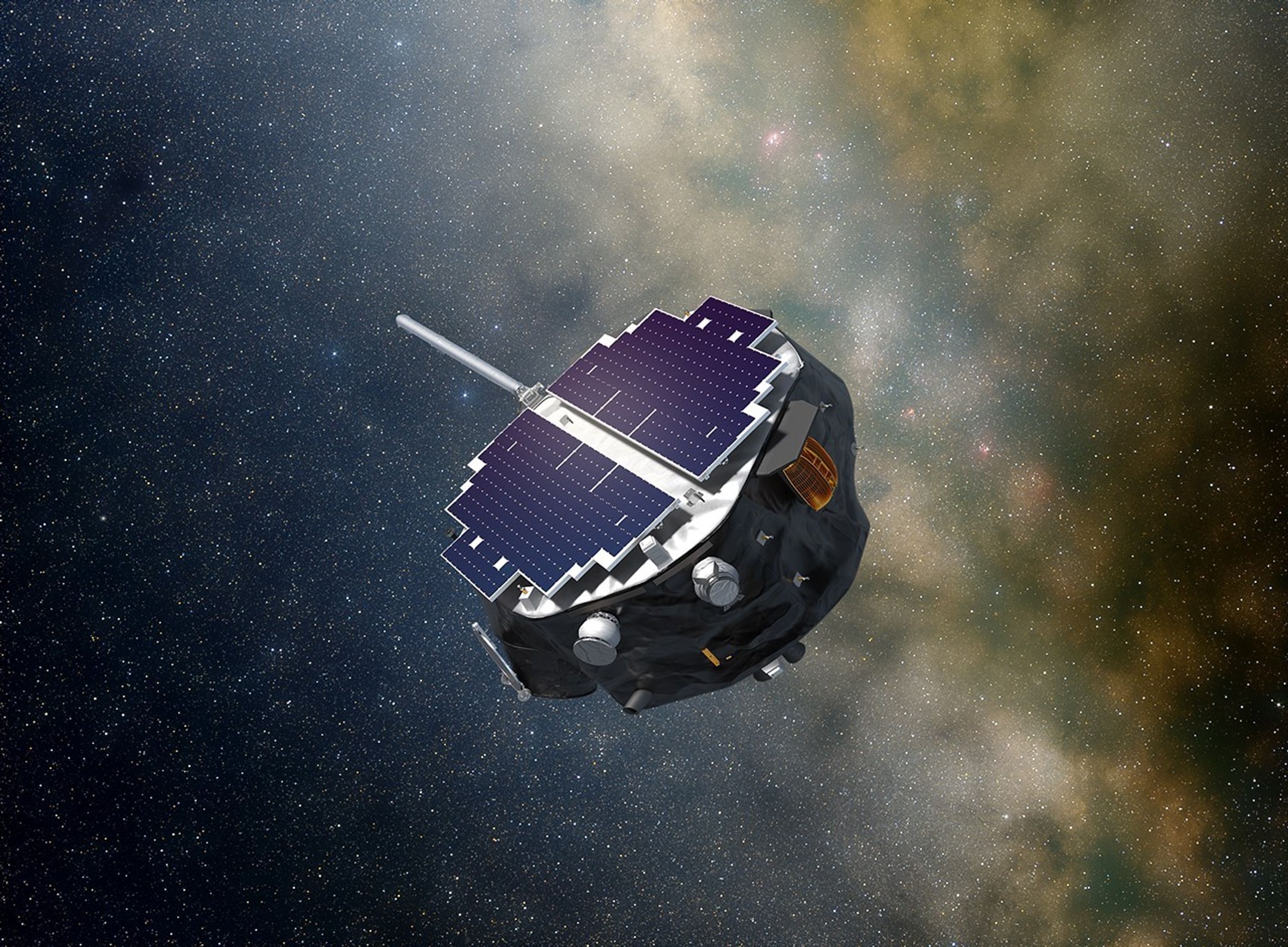
The Arcstone spacecraft with solar panels installed and tested.
The Arcstone spacecraft with solar panels installed as it is tested before being integrated for launch.
Blue Canyon Technologies

If the initial Arcstone technology demonstration is successful, a longer Arcstone mission could allow scientists to make the Moon the preferred reference standard for many other satellites. The new calibration standard could also be applied retroactively to previous Earth data records to improve their accuracy or fill in data gaps for data fields. It could also improve high-precision sensor performance on-orbit, which is critical for calibrating instruments that may be sensitive to degradation or hardware breakdown over time in space. 

“Earth observations from space play a critical role in monitoring the environmental health of our planet,” said Stone. “Lunar calibration is a robust and cost-effective way to achieve high accuracy and inter-consistency of Earth observation datasets, enabling more accurate assessments of Earth’s current state and more reliable predictions of future trends.” 
 

The Arcstone technology demonstration project is funded by NASA’s Earth Science Technology Office’s In-space Validation of Earth Science Technologies. Arcstone is led by NASA’s Langley Research Center in partnership with Colorado University Boulder’s Laboratory for Atmospheric and Space Physics, USGS,  NASA Goddard Space Flight Center in Greenbelt, Maryland, Resonon Inc., Blue Canyon Technologies, and Quartus Engineering.  

For more information on NASA’s Arcstone mission visit: 

https://science.larc.nasa.gov/arcstone/about/

About the Author

Charles G. Hatfield

Charles G. Hatfield

Science Public Affairs Officer, NASA Langley Research Center

Powered by WPeMatico

Get The Details…
Charles G. Hatfield

NASA’s LRO Views ispace HAKUTO-R Mission 2 Moon Lander Impact Site

NASA’s LRO Views ispace HAKUTO-R Mission 2 Moon Lander Impact Site

On June 11, NASA’s LRO (Lunar Reconnaissance Orbiter) captured photos of the site where the ispace Mission 2 SMBC x HAKUTO-R Venture Moon (RESILIENCE) lunar lander experienced a hard landing on June 5, 2025, UTC.

A black and white image of the surface of the Moon taken from NASA's Lunar Reconnaissance Orbiter showing : HAKUTO-R Mission 2 lunar lander impact site, a dark smudge surrounded by a subtle bright halo. A white arrow points to the site.
RESILIENCE lunar lander impact site, as seen by NASA’s Lunar Reconnaissance Orbiter Camera (LROC) on June 11, 2025. The lander created a dark smudge surrounded by a subtle bright halo.
Credit: NASA/Goddard/Arizona State University.

RESILIENCE was launched on Jan. 15 on a privately funded spacecraft.

LRO’s right Narrow Angle Camera (one in a suite of cameras known as LROC) captured the images featured here from about 50 miles above the surface of Mare Frigoris, a volcanic region interspersed with large-scale faults known as wrinkle ridges.

The dark smudge visible above the arrow in the photo formed as the vehicle impacted the surface, kicking up regolith — the rock and dust that make up Moon “soil.” The faint bright halo encircling the site resulted from low-angle regolith particles scouring the delicate surface.

Gif of black and white images of the surface of the Moon taken from NASA's Lunar Reconnaissance Orbiter showing before and after the HAKUTO-R Mission 2 lunar lander impact. The second image shows  a dark smudge surrounded by a subtle bright halo.
This animation shows the RESILIENCE site before and after the impact. In the image, north is up. Looking from west to east, or left to right, the area pictured covers 2 miles.
Credit: NASA/Goddard/Arizona State University. 

LRO is managed by NASA’s Goddard Space Flight Center in Greenbelt, Maryland, for the Science Mission Directorate at NASA Headquarters in Washington. Launched on June 18, 2009, LRO has collected a treasure trove of data with its seven powerful instruments, making an invaluable contribution to our knowledge about the Moon. NASA is returning to the Moon with commercial and international partners to expand human presence in space and bring back new knowledge and opportunities.

More on this story from Arizona State University’s LRO Camera website

Media Contact
Karen Fox / Molly Wasser
Headquarters, Washington
202-358-1600
karen.c.fox@nasa.gov / molly.l.wasser@nasa.gov

Lonnie Shekhtman
NASA’s Goddard Space Flight Center, Greenbelt, Md.
lonnie.shekhtman@nasa.gov

Share

Details

Last Updated

Jun 20, 2025

Editor
Madison Olson
Contact
Location
Goddard Space Flight Center

Powered by WPeMatico

Get The Details…
Madison Olson

NASA Air Taxi Passenger Comfort Studies Move Forward

NASA Air Taxi Passenger Comfort Studies Move Forward

3 min read

Preparations for Next Moonwalk Simulations Underway (and Underwater)

A woman sits in a seat with straps atop a metal platform that is tilted to the right side with three base pieces. Her feet rest on a metal platform. Yellow metal bars surround the platform. The woman is wearing black pants and a black and white vest, as well as black virtual reality goggles and a headset.
NASA employee Naomi Torres sits inside the air taxi passenger ride quality simulator at NASA’s Armstrong Flight Research Center in Edwards, California, as the simulator moves during a study on Oct. 23, 2024. Research continues to better understand how humans may interact with these new types of aircraft.
NASA/Steve Freeman

NASA’s Advanced Air Mobility vision involves the skies above the U.S. filled with new types of aircraft, including air taxis. But making that vision a reality involves ensuring that people will actually want to ride these aircraft – which is why NASA has been working to evaluate comfort, to see what passengers will and won’t tolerate. 

NASA is conducting a series of studies to understand how air taxi motion, vibration, and other factors affect ride comfort. The agency will provide the data it gathers to industry and others to guide the design and operational practices for future air taxis. 

“The results of this study can guide air taxi companies to design aircraft that take off, land, and respond to winds and gusts in a way that is comfortable for the passengers,” said Curt Hanson, senior flight controls researcher for this project based at NASA’s Armstrong Flight Research Center in Edwards, California. “Passengers who enjoy their experience in an air taxi are more likely to become repeat riders, which will help the industry grow.” 

The air taxi comfort research team uses NASA Armstrong’s Ride Quality Laboratory as well as the Human Vibration Lab and Vertical Motion Simulator at NASA’s Ames Research Center in California’s Silicon Valley to study passenger response to ride quality, as well as how easily and precisely a pilot can control and maneuver aircraft. 

After pilots checked out the simulator setup, the research team conducted a study in October where NASA employees volunteered to participate as passengers to experience the virtual air taxi flights and then describe their comfort level to the researchers.  

A man wearing a black shirt, standing on the left side of the image, faces a woman wearing a black and white vest on the right side of the image. The man holds a piece of paper in one hand and his other hand is stretched out to the side. Behind them sits a metal platform with steps, which houses a black seat.
Curt Hanson, senior flight controls researcher for the Revolutionary Vertical Lift Technology project based at NASA’s Armstrong Flight Research Center in Edwards, California, explains the study about to begin to NASA employee and test subject Naomi Torres on Oct. 23, 2024. Behind them is the air taxi passenger ride quality simulator in NASA Armstrong’s Ride Quality Laboratory. Studies continue to better understand passenger comfort for future air taxi rides.
NASA/Steve Freeman

Using this testing, the team produced an initial study that found a relationship between levels of sudden vertical motion and passenger discomfort. More data collection is needed to understand the combined effect of motion, vibration, and other factors on passenger comfort. 

“In the Vertical Motion Simulator, we can investigate how technology and aircraft design choices affect the handling qualities of the aircraft, generate data as pilots maneuver the air taxi models under realistic conditions, and then use this to further investigate passenger comfort in the Ride Quality and Human Vibration Labs,” said Carlos Malpica, senior rotorcraft flight dynamics researcher for this effort based at NASA Ames. 

This work is managed by the Revolutionary Vertical Lift Technology project under NASA’s Advanced Air Vehicles Program in support of NASA’s Advanced Air Mobility mission, which seeks to deliver data to guide the industry’s development of electric air taxis and drones. 

Powered by WPeMatico

Get The Details…
Dede Dinius

Summer Begins in Northern Hemisphere

Summer Begins in Northern Hemisphere

This full-disk image from NOAA’s GOES-13 satellite shows North and South America on the summer solstice on June 21, 2012. The land is green and brown, while Earth's waters appear deep blue. Clouds swirl all over Earth.
This full-disk image from NOAA’s GOES-13 satellite shows the Americas at the start of astronomical summer in the Northern Hemisphere on June 21, 2012.
NASA

This full-disk image from NOAA’s GOES-13 satellite was captured at 7:45 a.m. EDT (11:45 UTC) and shows the Americas on June 21, 2012, the start of astronomical summer – in the Northern Hemisphere – that year.

The first day of summer in 2025 is June 20; it is also the longest day of the year. In the Southern Hemisphere, it’s the shortest day of the year and the beginning of winter.

Earth orbits at an angle, so the Northern Hemisphere is tilted toward the Sun half of the year — this is summer in the Northern Hemisphere, and winter in the Southern Hemisphere. The other half of the year, the Northern Hemisphere is tilted away from the Sun, creating winter in the north and summer in the south. Solstices happen twice per year, at the points in Earth’s orbit where this tilt is most pronounced.

Image credit: NASA

Powered by WPeMatico

Get The Details…
Monika Luabeya