ARRL, AMSAT Seek Changes in FCC Orbital Debris Mitigation Proposals

ARRL, AMSAT Seek Changes in FCC Orbital Debris Mitigation Proposals

FCC SealARRL Washington Counsel Dave Siddall, K3ZJ, and AMSAT Executive Vice President Paul Stoetzer, N8HM, on April 8, discussed with senior FCC International Bureau staff by telephone the FCC’s draft Report & Order (R&O) on mitigation of orbital debris (IB Docket No. 18-313). The amateur representatives told the FCC staff that “two aspects of the draft regulations are of particular concern…. and would seriously hinder amateur radio’s future operations in space, if adopted as proposed without the relatively minor changes that we propose.”

First, ARRL and AMSAT requested a revision to proposed language that otherwise would allow only private individual licensees to indemnify the U.S. for the operations of an amateur space satellite. ARRL and AMSAT requested that satellite owners be added to that provision. The amateur representatives, noting that amateur radio licensees may only be individuals under the amateur rules, stated that “[i]n no other service would an individual be required to personally make a similar indemnification” and that “it would be difficult to impossible to find an individual Amateur Radio licensee willing to bear that risk.”

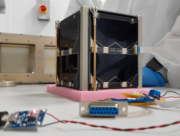
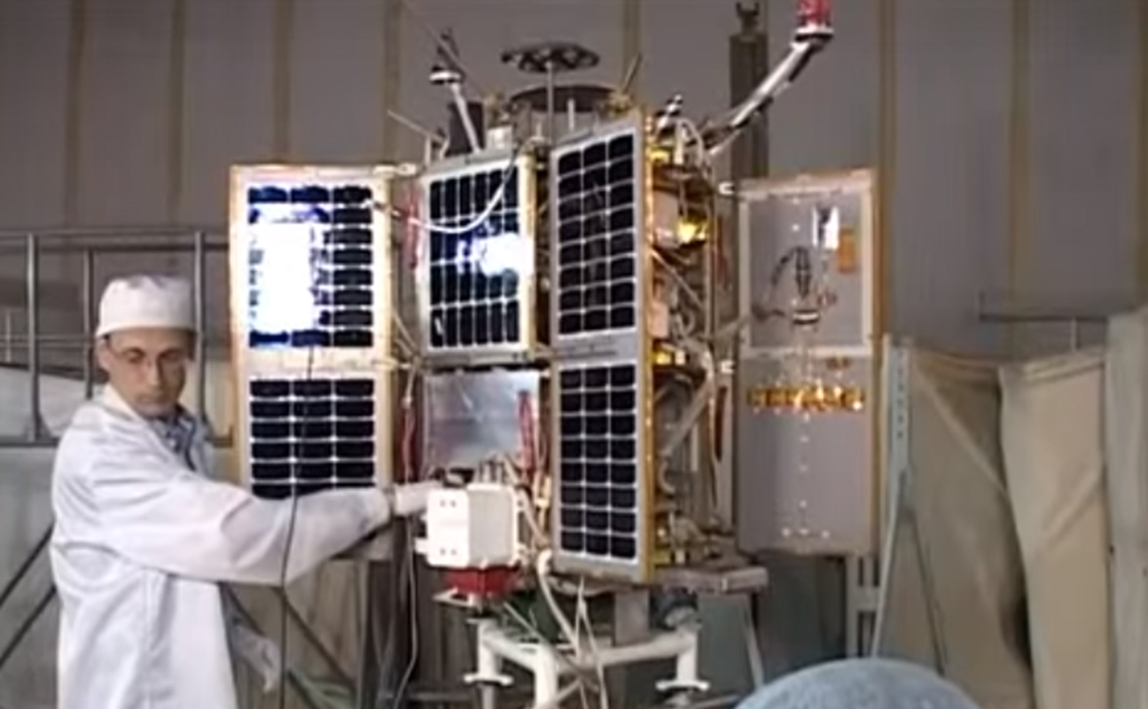
Second, ARRL and AMSAT asked the FCC to delay by 3 years the proposed effective date of April 23, 2022, for a rule that would require satellite operators to certify that space stations “be designed with the maneuvering capabilities sufficient to perform collision avoidance” for spacecraft designed to operate above 400 kilometers in altitude. Citing the long lead times to design and construct Amateur satellites, ARRL and AMSAT suggested that a more reasonable date would be April 23, 2025 and noted that, based on recent past years, only an estimated 3-5 amateur satellites likely would be launched during the extra period.

“We do not disagree with the purpose of this requirement,” they told the FCC staff, but “the proposed effective date is unreasonable in the case of amateur radio satellites.” The new effective date “would allow time for amateur spacecraft designers to adapt to this new requirement,” they said.

Citing the value of amateur satellites to the development of the commercial small satellite industry, and student participation in such projects, ARRL and AMSAT said a strong and robust Amateur Satellite Service will help inspire future developments in satellite technology. The requested changes to the draft R&O would help ensure that amateur radio continues to have a future in space and contribute to the public interest on an educational, non-pecuniary basis.

The FCC is expected to consider the R&O at its April 23 open meeting.
The AMSAT/ARRL document may be read in full at
https://ecfsapi.fcc.gov/file/10409353709408/AMSAT%20ARRL%2018-313%20Ex%20Parte%2004_08_2020.pdf

Source AMSAT News Service and ARRL https://www.amsat.org/mailman/listinfo/ans

Get The Details…

m5aka

AMSAT-UK

Powered by WPeMatico

Annual forecast challenge and other research highlight the complexity of sea ice prediction

Annual forecast challenge and other research highlight the complexity of sea ice prediction

Rotator Image: 

In 2015, NOAA’s Climate Program Office (CPO) invited grant proposals from sea ice and climate scientists looking to better understand and predict Arctic sea ice behavior, on timescales ranging from days to decades. This is our second story on some of the resulting research.

Highlights: 
  • Multiple activities, from fishing to fuel delivery, depend on reliable forecasts of Arctic sea ice extent on a seasonal timeframe.
  • Simple approaches, such as predicting when ice will re-freeze in the fall based on when it melted the previous spring, give mixed results at best because sea ice behavior is complex.
  • Recent efforts at sea ice prediction involve crowdsourcing. NOAA is a sponsor of the Sea Ice Prediction Network, which solicits predictions from experts and amateurs alike.
  • A current challenge in Arctic-summer-minimum predictions is the “spring predictability barrier”: reliable forecasts can’t be generated before May or June. Improvements in satellite technology may alleviate this problem.
  • Arctic sea ice retreat increases year-to-year variability, making accurate predictions even more elusive.
 
 
Published Date: 
Wednesday, April 8, 2020

Get The Details…
tom.diliberto

Powered by WPeMatico

Temperature and precipitation outlooks for March 2020

Temperature and precipitation outlooks for March 2020

Welcome to meteorological spring! March kickstarts the transition season for many across the United States, and NOAA’s Climate Prediction Center has issued its monthly outlook for March 2020 temperature and precipitation.  As a reminder, these outlooks don’t predict the actual numerical temperature or the exact amount of precipitation. Instead, they predict the probability that monthly temperatures and precipitation will be in the upper or lower third of the climatological record (defined as the 1981-2010 period) for a given location. Darker colors refer to a higher chance, not more extreme conditions.

The highest chance for above-average temperatures during March is located across the lower Mississippi Valley from northeastern Arkansas and western Tennessee to the lower Great Lakes in Michigan and southern Wisconsin. However, the entire central and eastern parts of the contiguous United States have a tilt in the odds toward above-average temperatures during March. Only the Pacific Northwest sees probabilities tilted towards a cooler-than-average March.

The increased chance for above-average temperatures in the Ohio Valley region coincides with an increased probability for a wetter March, with the highest odds in the Tennessee Valley. Another area where the odds are tilted toward a wetter March is along the US/Mexico border from southern California to western Texas. February in California was quite dry, so above-average rains would be helpful to the state’s reservoirs and ecosystems. On the flip side, March is favored to be dry for Florida and the Central Plains. For Alaska maps, visit the Climate Prediction Center’s webpage.

What about elsewhere?

The areas in white on the map refer to there being an equal chance (33.3%) that monthly temperature and precipitation will be above, below, or near average. Even odds occur when forecasters see no reason to expect one outcome over another at a given location. It doesn’t mean conditions are favored to be average.

What climate factors might give forecasters a reason to think a particular climate outcome is more likely? Phenomena like El Niño or La Niña, the Arctic Oscillation, or recent trends can influence monthly temperature and precipitation patterns. If these patterns give conflicting signals to forecasters or are judged to be too weak to influence climate patterns in a given location, forecasters might declare those areas to be “equal chances”. For March 2020, that includes much of the western United States for temperature, and much of the Great Plains, East Coast, Mountain West and Pacific Northwest for precipitation.

What was on the forecasters minds?

In their discussion of this month’s outlooks, the Climate Prediction Center noted that forecasts for the large-scale pattern suggest the influence of Pacific air across the continental United States. Across the far western United States, this means troughing bringing in cooler North Pacific air to the Pacific Northwest and farther south bringing moist air from the neighboring ocean to southern California, increasing the chance for a wetter than average March for southern California and cooler than average temperatures across the Pacific Northwest. Meanwhile across the central and eastern United States, winds out of the west and southwest will result in ridging or high pressure, meaning a better chance at warmer-than-average temperatures.

Forecasters also note that variability will be high, especially across western United States, leading to the equal chance designation for temperatures across the West.

Join us on social media to let us know how your start to meteorological spring is going!

Department: 
 
 
Published Date: 
Monday, March 2, 2020

Get The Details…
tom.diliberto {authorlink}

Powered by WPeMatico

Climate.gov tweet chat: Talk with a climate and cloud expert about the ATOMIC scientific mission

Climate.gov tweet chat: Talk with a climate and cloud expert about the ATOMIC scientific mission

Rotator Image: 

On Wednesday, February 5, climate  expert Dr. Gijs de Boer will answer questions in a Climate.gov tweet chat about ATOMIC scientific mission and his work on measuring the interactions between the clouds and ocean using an autonomous aircraft. 


Published Date: 
Friday, January 31, 2020

Get The Details…
tom.diliberto {authorlink}

Powered by WPeMatico

2019 Arctic Report Card: Melt season on Greenland Ice Sheet rivals record for area and duration

2019 Arctic Report Card: Melt season on Greenland Ice Sheet rivals record for area and duration

The Greenland Ice Sheet contains enough stored water to raise sea level by more than 24 feet (7.2 meters) as it melts. How fast that will occur is one of the big unknowns for predicting the pace of sea level rise over the rest of the century. Glacier experts think the ice sheet was likely in balance in the decades leading up to 1990, but since then, it has been losing mass at an accelerating pace.

Adapted from the 2019 Arctic Report Card, this graph shows month-to-month changes in Greenland ice mass from April 2002–April 2019 overlaid on a NASA satellite image of the northwest coast of the island (rotated counterclockwise about 90 degrees) from July 19, 2019. Each peak in the graph shows the snow mass gained during the winter; each valley shows summer losses through surface melting and glacier thinning and retreat. The 17-year trend is estimated to be -267±3 billion tons per year, which is enough to have raised sea level by nearly 12 millimeters (0.5 inches). 

In the satellite image, sapphire blue melt ponds and streams are visible along the low elevations of the ice sheet margin which appears gray where snow has melted and dirty ice is exposed. Surface melting in summer 2019 was unusually widespread and early, according to the Arctic Report Card, starting in mid-April, 6-8 weeks sooner than average.  Under high pressure and sunny skies, roughly 95 percent of the surface experienced melting at some point in the summer, well above the 1981-2010 average of about 64 percent, equivalent to the previous record set in 2012. The highest one-day melt extent was 60.9 percent on July 31. Around the northern margin of the island, the melt season lasted at least 20 days longer than average.

Based on preliminary analysis combining observations and models since 1948, the exceptionally early and widespread melt in 2019 is likely to have led to the biggest one-year ice mass loss on record for the Greenland Ice Sheet.

This image is adapted from NOAA’s 2019 Arctic Report Card, which provides an annual update on observations from the Arctic, documenting changes in the physical environment—including sea ice, the atmosphere, snow, the Greenland Ice Sheet, and carbon stored and released by permafrost—and the impacts on people, plants, and animals that live there. This peer-reviewed collection of essays is part of NOAA’s mission to help the nation understand and prepare for the risks and opportunities of a changing climate.

Department: 
 
 
Rotator Image: 
Greenland mass time series
Published Date: 
Tuesday, December 10, 2019

Get The Details…
michon.scott

Powered by WPeMatico