

Curiosity Blog, Sols 4675-4681: Deciding Where to Dig Into the Boxworks
3 min read
Curiosity Blog, Sols 4675-4681: Deciding Where to Dig Into the Boxworks
Written by Michelle Minitti, MAHLI Deputy Principal Investigator at Framework
Earth planning date: Friday, Oct. 3, 2025
Before Curiosity landed 13 years ago, the science team eyed all the geologic wonders scattered across the flanks of Mount Sharp and looked forward to the day when we could put the rover to work on them. We have visited so many of these wonders — valleys, river channels, lakebeds — and found a few that we were not expecting.
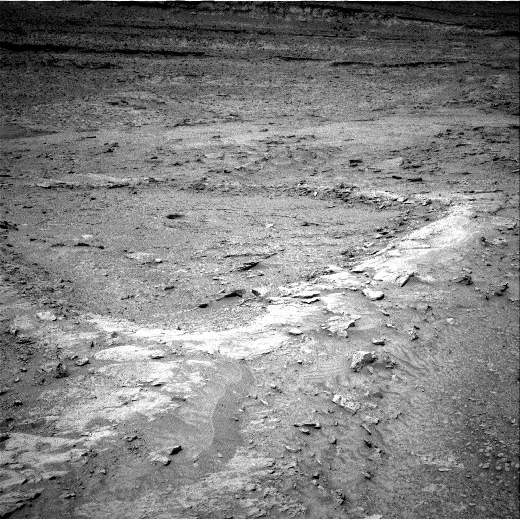
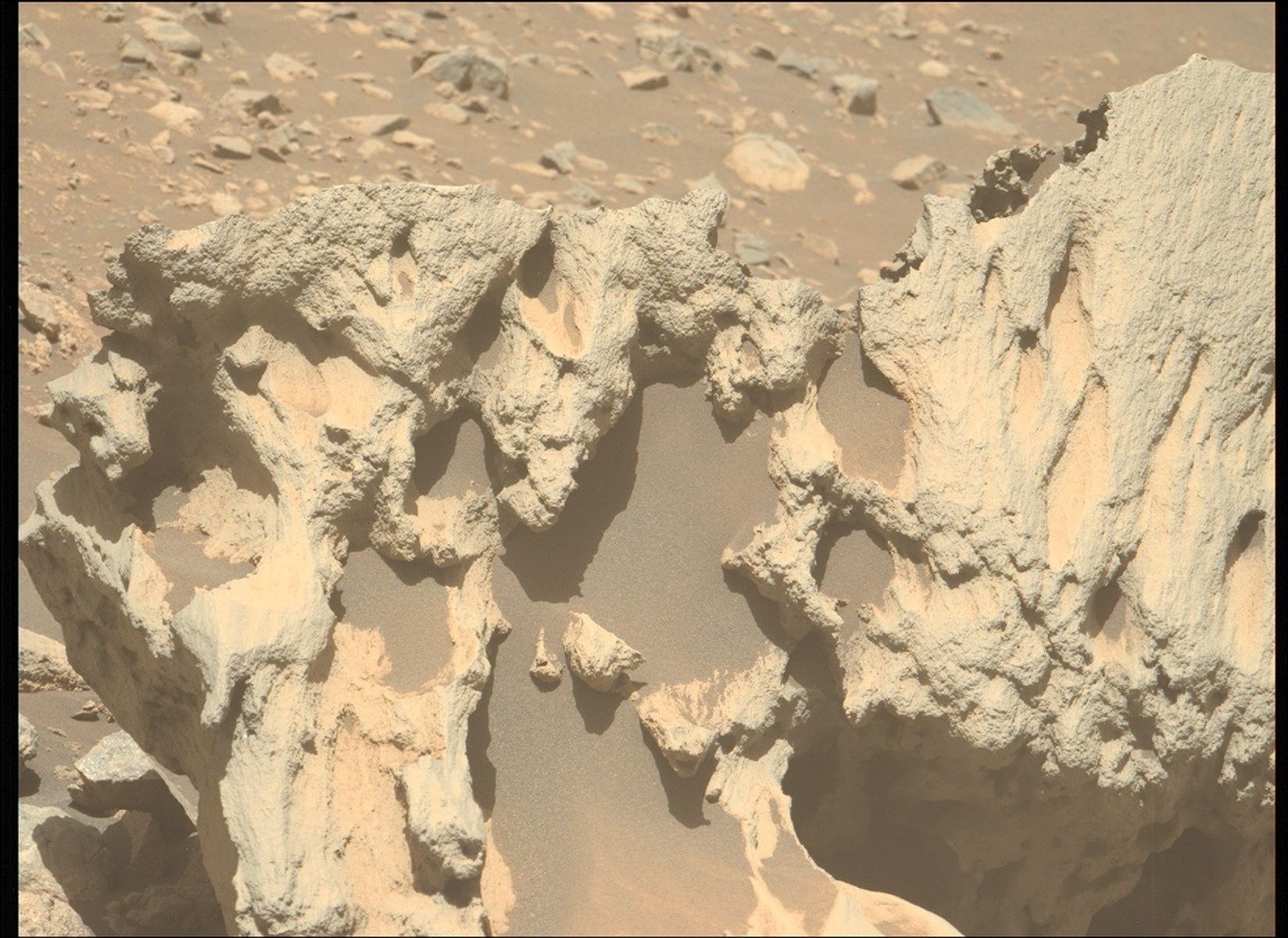
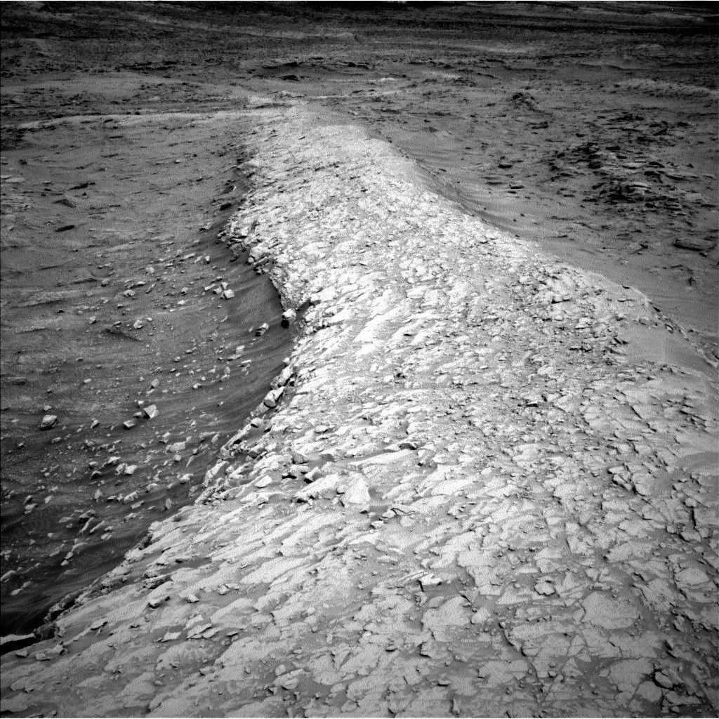
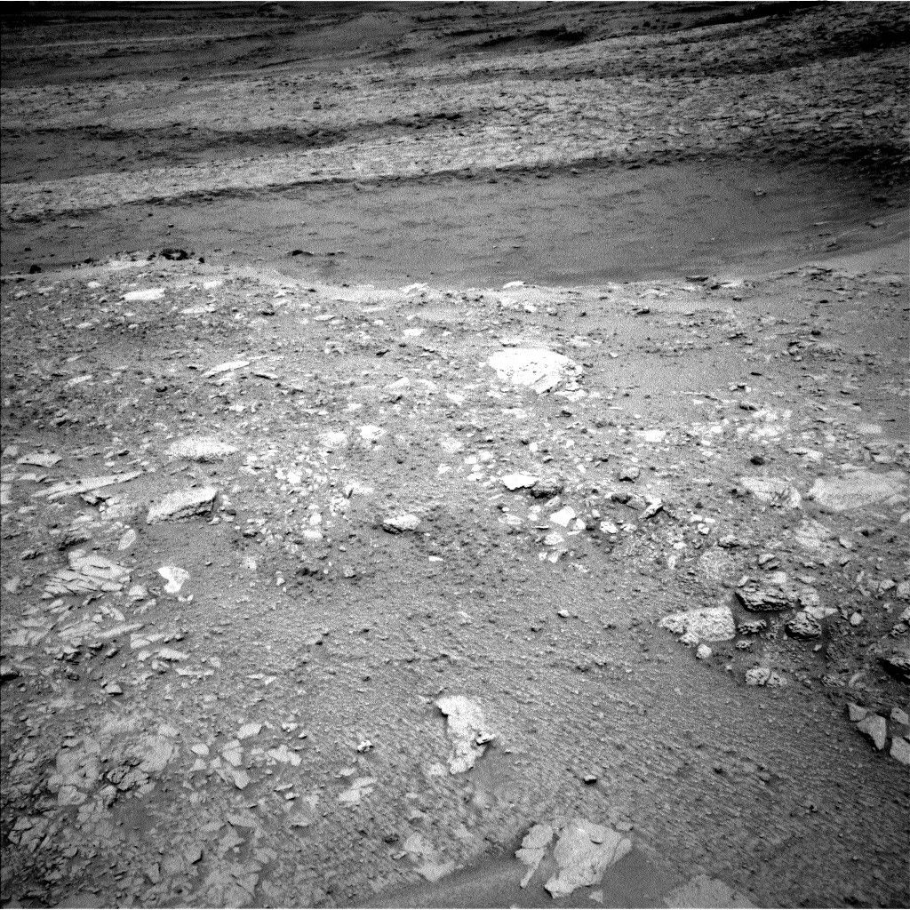
Since Sol 4600, we have been exploring the heart of one of these long-awaited wonders — the boxwork structures — to uncover what created this expansive network of ridges and hollows. Each stop along the traverse since then has been an exercise in systematic detective work.
APXS and ChemCam analyses from the center of a ridge, to its edges, and into its neighboring hollow looked for chemical variations that indicate what is holding the ridges together, making them higher than the hollows. Mastcam and ChemCam RMI imaging mapped the architecture of the ridges and hollows looking for structures that provide clues to their formation. Their imaging of more distant features such as the buttes that rise hundreds of meters on either side of the valley hosting the boxworks helped define the geologic context of the area. MAHLI imaging of ridge and hollow targets sought variations in grain size that might indicate how the boxwork bedrock was deposited. DAN surveyed the ground under the rover at every stop, measuring hydrogen (and thus assumed, water) content to see how it varies between ridges and hollows.
This week, the team ingested all the results from this thorough exploration to make a decision about our next drill site, where SAM and CheMin will have their chance to interrogate the boxworks. The rover will head north to the “Monte Grande” hollow in which we identified promising bedrock for sampling. Eventually, we will drill a ridge but that is for a future blog. Comparing the mineralogy, volatile content, and organic chemistry of the ridges and hollows will give us our most detailed insight into how the boxworks formed.
REMS and RAD do not particularly care if they are parked over a ridge or hollow, as the sky above is their domain. Both instruments kept their steady watch on the weather — Martian and space, respectively. Navcam and Mastcam helped with the environmental watch by measuring dust in the atmosphere, looking for dust devils, and capturing the last of the cloudy season.

Share
Details
Related Terms
Explore More


Powered by WPeMatico
